
| Distance / Altitude | Location | Report Date / Time | Live Weather | Wind | Gusts | Temp. | Visibility | Cloud |
|---|---|---|---|---|---|---|---|---|
| 21 km WNW / 15 m | SHIP3364 (Marine) | 2026-06-09 04:00 local (2026/06/09 11:00 GMT) | - (- km/h at -) | — | - km | |||
| 26 km W / 3 m | BUOY-NEAW1 (Marine) | 2026-06-09 05:00 local (2026/06/09 12:00 GMT) | - (- km/h at -) | — | - | |||
| 29 km S / 91 m | Forks (Washington) | 2026-06-09 05:10 local (2026/06/09 12:10 GMT) | dry | calm (0 km/h at 113) | 11°C | - | - - 0 | |
| 31 km ENE / 22 m | Sheringham Point- BC (Canada) | 2026-06-09 05:00 local (2026/06/09 12:00 GMT) | no report | calm (4 km/h at 100) | 11°C | - | - - - | |
| 29 km S / 91 m | Forks (Washington) | 2026-06-09 05:10 local (2026/06/09 12:10 GMT) | dry | calm (0 km/h at 113) | 11°C | - | - - 0 | |
| 31 km ESE / 15 m | SHIP6071 (Marine) | 2026-06-09 04:00 local (2026/06/09 11:00 GMT) | - (- km/h at -) | — | - km | |||
| 31 km ESE / 15 m | SHIP2926 (Marine) | 2026-06-09 04:00 local (2026/06/09 11:00 GMT) | - (- km/h at -) | — | - km | |||
| 31 km ESE / 3 m | SHIP4196 (Marine) | 2026-06-09 04:00 local (2026/06/09 11:00 GMT) | - (- km/h at -) | 11°C | - | |||
| 31 km ENE / 22 m | Sheringham Point- BC (Canada) | 2026-06-09 05:00 local (2026/06/09 12:00 GMT) | no report | calm (4 km/h at 100) | 11°C | - | - - - | |
| 31 km ESE / 15 m | SHIP3311 (Marine) | 2026-06-09 04:00 local (2026/06/09 11:00 GMT) | - (- km/h at -) | — | - km |
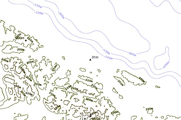
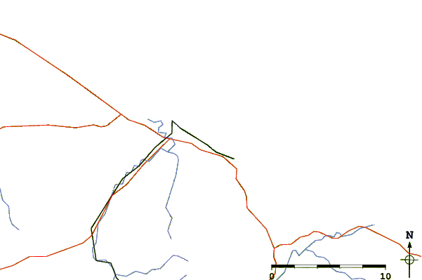
| Contours: | Roads & Rivers: | Select a
tide station / surf break / city |
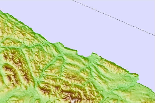
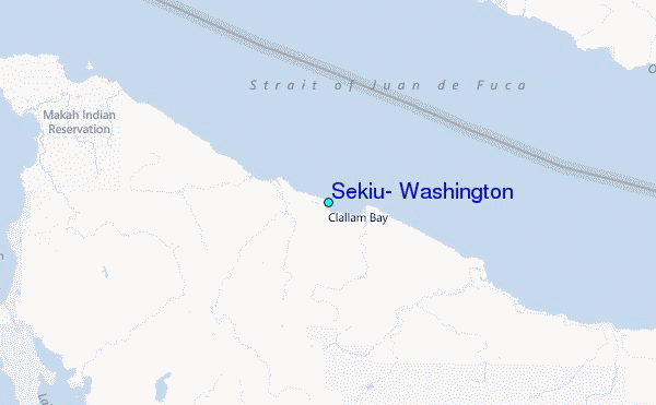
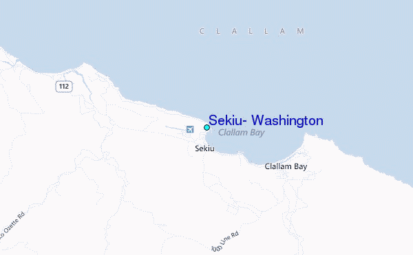
Use this relief map to navigate to tide stations, surf breaks and cities that are in the area of Sekiu, Washington.
Other Nearby Locations' tide tables and tide charts to Sekiu, Washington:
click location name for more details
 Surf breaks close to Sekiu, Washington:
|
||
|---|---|---|
| Closest surf break | Slip Point (Clallam Bay) | 2 mi |
| Second closest surf break | Hoko River Kydaka | 2 mi |
| Third closest surf break | The Strait | 9 mi |
| Fourth closest surf break | Pillar Point | 11 mi |
| Fifth closest surf break | Deep Creek | 14 mi |


 Nearest
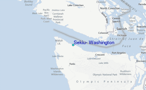