
| Distance / Altitude | Location | Report Date / Time | Live Weather | Wind | Gusts | Temp. | Visibility | Cloud |
|---|---|---|---|---|---|---|---|---|
| 375 km S / - m | SHIP3051 (ocean) | 2024-04-20 00:00 local (2024/04/19 14:00 GMT) | No report | light winds from the SE (17 km/h at 140) | 27°C | 10 km | scattered | |
| 528 km E / 6 m | Munda-New Georgia (Solomon Islands) | 2024-04-20 01:00 local (2024/04/19 15:00 GMT) | distant precipitation but not falling at station | light winds from the W (7 km/h at 270) | 27°C | 10 | - | |
| 528 km E / 6 m | Munda-new Georgia (Solomon Islands) | 2024-04-20 00:00 local (2024/04/19 14:00 GMT) | distant precipitation but not falling at station | wind obs. (7 kph from 270 degs) was rejected (- km/h at -) | 27°C | 10 | - scattered - | |
| 586 km WSW / 359 m | Port Moresby International Airport (Papua New Guinea) | 2024-04-20 00:00 local (2024/04/19 14:00 GMT) | - | light winds from the N (6 km/h at 1) | 26°C | 10.0 | few | |
| 813 km E / 182 m | Honiara (Solomon Islands) | 2024-04-20 01:00 local (2024/04/19 15:00 GMT) | Haze | light winds from the S (15 km/h at 180) | 25°C | 20 km | scattered |
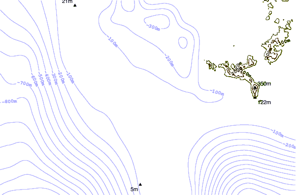
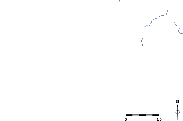
| Contours: | Roads & Rivers: | Select a
tide station / surf break / city |
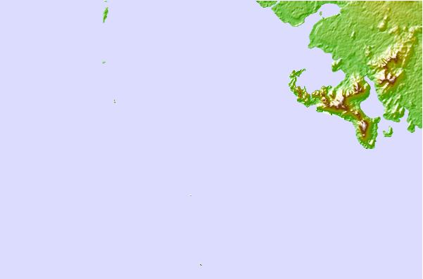
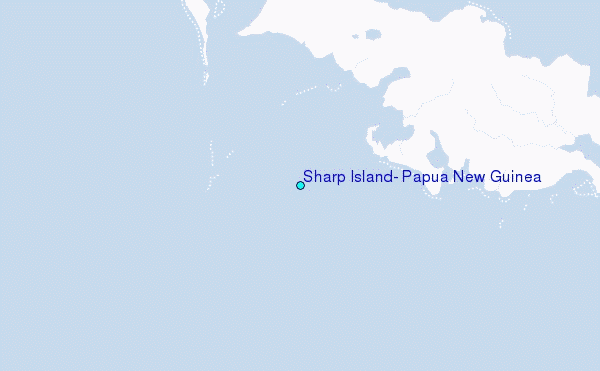
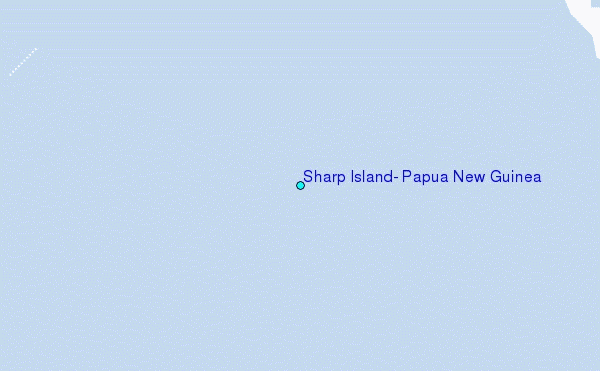
Use this relief map to navigate to tide stations, surf breaks and cities that are in the area of Sharp Island, Papua New Guinea.
Other Nearby Locations' tide tables and tide charts to Sharp Island, Papua New Guinea:
click location name for more details
 Surf breaks close to Sharp Island, Papua New Guinea:
|
||
|---|---|---|
| Closest surf break | Pailongge | 301 mi |
| Second closest surf break | Titiana | 302 mi |
| Third closest surf break | Makuti | 310 mi |
| Fourth closest surf break | Despretes | 318 mi |
| Fifth closest surf break | Skull Island | 322 mi |

 Nearest
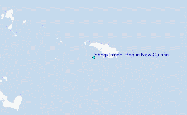