
| Distance / Altitude | Location | Report Date / Time | Live Weather | Wind | Gusts | Temp. | Visibility | Cloud |
|---|---|---|---|---|---|---|---|---|
| 0 km ENE / 3 m | BUOY-SHBL1 (Marine) | 2024-04-25 10:48 local (2024/04/25 15:48 GMT) | light winds from the ESE (15 km/h at 120) | 24°C | - | |||
| 29 km SSW / 15 m | SHIP10648 (Marine) | 2024-04-25 10:00 local (2024/04/25 15:00 GMT) | - (- km/h at -) | — | - km | |||
| 31 km WSW / 30 m | Belle Chasse (Louisiana) | 2024-04-25 10:09 local (2024/04/25 15:09 GMT) | dry | light winds from the SSW (11 km/h at 202) | 24°C | - | - - 0 | |
| 34 km WSW / 218 m | New Orleans Naval Air Station Airport (Louisiana) | 2024-04-25 09:55 local (2024/04/25 14:55 GMT) | Dry and partly cloudy | light winds from the ESE (13 km/h at 120) | 25°C | 16 | scattered scattered | |
| 35 km WSW / 0 m | Gretna (Louisiana) | 2024-04-25 10:25 local (2024/04/25 15:25 GMT) | dry | calm (3 km/h at 99) | 26°C | - | - - 0 |
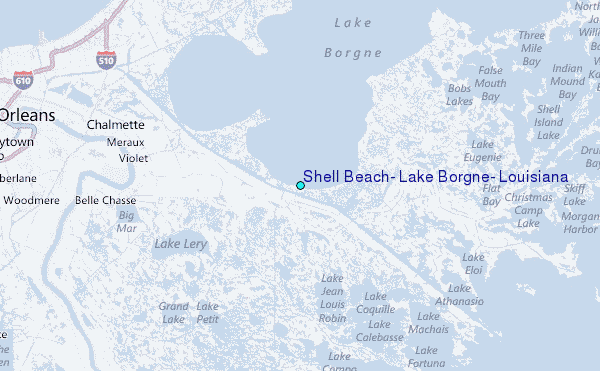
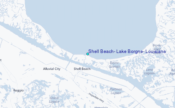
Choose Shell Beach, Lake Borgne, Louisiana Location Map Zoom:
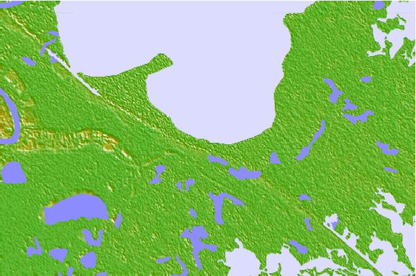
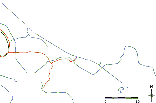
| Contours: | Roads & Rivers: | Select a
tide station / surf break / city |

Use this relief map to navigate to tide stations, surf breaks and cities that are in the area of Shell Beach, Lake Borgne, Louisiana.
Other Nearby Locations' tide tables and tide charts to Shell Beach, Lake Borgne, Louisiana:
click location name for more details
 Surf breaks close to Shell Beach, Lake Borgne, Louisiana:
|
||
|---|---|---|
| Closest surf break | Chandeleur Islands | 50 mi |
| Second closest surf break | Dauphin Island Pier | 99 mi |
| Third closest surf break | West Pass | 119 mi |
| Fourth closest surf break | Terry s Cove | 128 mi |
| Fifth closest surf break | Alabama Point | 129 mi |

 Nearest
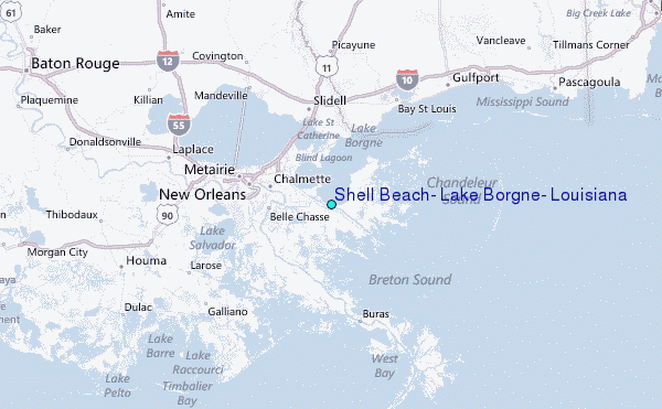