
| Distance / Altitude | Location | Report Date / Time | Live Weather | Wind | Gusts | Temp. | Visibility | Cloud |
|---|---|---|---|---|---|---|---|---|
| 11 km SSW / 3 m | BUOY-PMAF1 (Marine) | 2024-04-19 13:00 local (2024/04/19 17:00 GMT) | - (- km/h at -) | 25°C | - | |||
| 12 km SW / 3 m | BUOY-MTBF1 (Marine) | 2024-04-19 13:00 local (2024/04/19 17:00 GMT) | light winds from the W (9 km/h at 260) | 25°C | 10.9 | |||
| 15 km NW / 212 m | MacDill Air Force Base/Tampa Airport (Florida) | 2024-04-19 11:55 local (2024/04/19 15:55 GMT) | Clear | light winds from the S (11 km/h at 190) | 27°C | 16 | ||
| 15 km W / 3 m | BUOY-SAPF1 (Marine) | 2024-04-19 13:00 local (2024/04/19 17:00 GMT) | light winds from the SSE (11 km/h at 160) | 26°C | - | |||
| 16 km W / 218 m | St Peters/Albert Whitted Airport (Florida) | 2024-04-19 11:53 local (2024/04/19 15:53 GMT) | Clear | light winds from the ESE (11 km/h at 110) | 28°C | 16 |
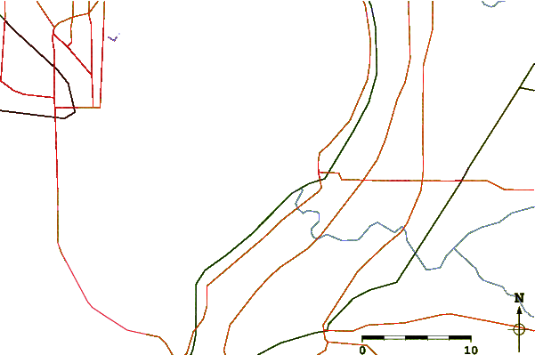
| Contours: | Roads & Rivers: | Select a
tide station / surf break / city |
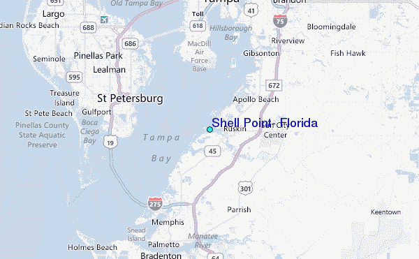
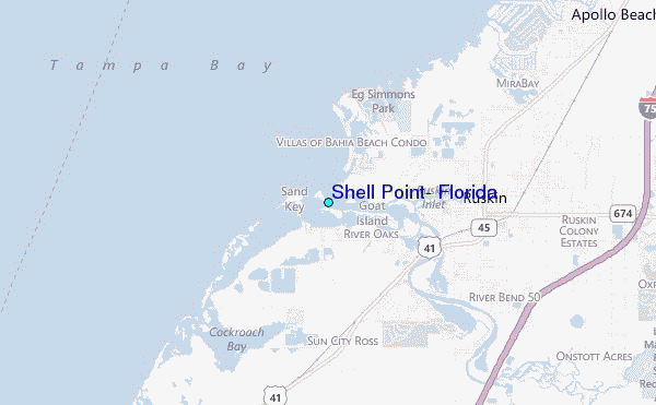
Use this relief map to navigate to tide stations, surf breaks and cities that are in the area of Shell Point, Florida.
Other Nearby Locations' tide tables and tide charts to Shell Point, Florida:
click location name for more details
 Surf breaks close to Shell Point, Florida:
|
||
|---|---|---|
| Closest surf break | Upham Beach | 16 mi |
| Second closest surf break | Sunset Beach | 17 mi |
| Third closest surf break | Anna Maria Island | 20 mi |
| Fourth closest surf break | Anna Maria Key | 21 mi |
| Fifth closest surf break | Holmes Beach Pier | 21 mi |

 Nearest
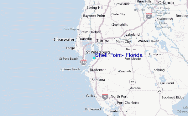