
| Distance / Altitude | Location | Report Date / Time | Live Weather | Wind | Gusts | Temp. | Visibility | Cloud |
|---|---|---|---|---|---|---|---|---|
| 16 km N / 217 m | Seoul/Kimpo International Airport (Korea) | 2024-04-20 00:00 local (2024/04/19 15:00 GMT) | - | light winds from the SW (7 km/h at 220) | — | 0.0 | ||
| 17 km WNW / 69 m | Incheon (South Korea) | 2024-04-20 01:00 local (2024/04/19 16:00 GMT) | - | light winds from the SSW (9 km/h at 200) | 14°C | 34 km | sky obscured | |
| 22 km SE / 240 m | Suwon (South Korea) | 2024-04-20 01:00 local (2024/04/19 16:00 GMT) | - | calm (2 km/h at 0) | 13°C | 34 km | sky obscured | |
| 25 km NE / 87 m | Seoul (South Korea) | 2024-04-20 01:00 local (2024/04/19 16:00 GMT) | - | calm (2 km/h at 0) | 16°C | 32 km | mostly cloudy | |
| 32 km ENE / 218 m | Chajang Airport (Korea) | 2024-04-20 00:30 local (2024/04/19 15:30 GMT) | Dry and partly cloudy | calm (4 km/h at 90) | 13°C | 10.0 | few broken |
| Contours: | Roads & Rivers: | Select a
tide station / surf break / city |
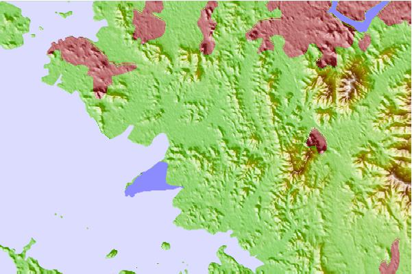
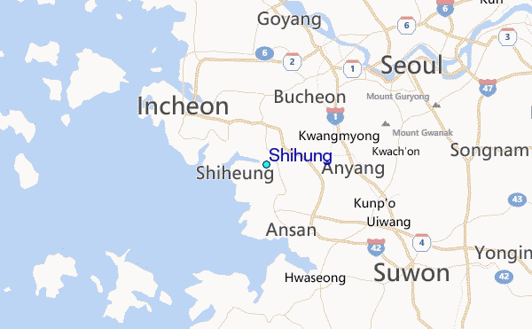
Use this relief map to navigate to tide stations, surf breaks and cities that are in the area of Shihung.
Other Nearby Locations' tide tables and tide charts to Shihung:
click location name for more details
 Surf breaks close to Shihung:
|
||
|---|---|---|
| Closest surf break | 38 Line | 114 mi |
| Second closest surf break | Ingu Beach | 115 mi |
| Third closest surf break | Jumunjin | 117 mi |
| Fourth closest surf break | Gyongpo Beach | 119 mi |
| Fifth closest surf break | Songdojin ni | 120 mi |

 Nearest
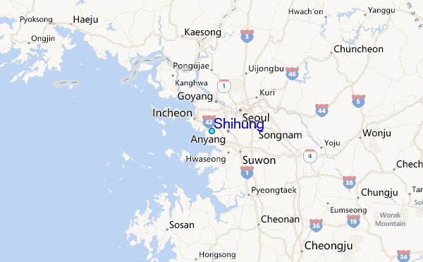