
| Distance / Altitude | Location | Report Date / Time | Live Weather | Wind | Gusts | Temp. | Visibility | Cloud |
|---|---|---|---|---|---|---|---|---|
| 23 km ENE / 3 m | BUOY-CFWM1 (Marine) | 2024-04-25 16:30 local (2024/04/25 20:30 GMT) | light winds from the NNW (15 km/h at 340) | 8°C | - | |||
| 38 km SSE / - m | SHIP5891 (ocean) | 2024-04-25 16:00 local (2024/04/25 20:00 GMT) | - | moderate winds from the WSW (22 km/h at 240) | — | - | no observation | |
| 38 km N / 83 m | Cooper (Maine) | 2024-04-25 16:26 local (2024/04/25 20:26 GMT) | dry | calm (0 km/h at ) | 8°C | - | - - 0 | |
| 38 km SSE / - m | SHIP6327 (ocean) | 2024-04-25 17:00 local (2024/04/25 21:00 GMT) | - | moderate winds from the WSW (22 km/h at 240) | — | - | no observation | |
| 38 km SSE / - m | SHIP13781 (ocean) | 2024-04-25 15:00 local (2024/04/25 19:00 GMT) | - | moderate winds from the WSW (25 km/h at 240) | — | - | no observation |
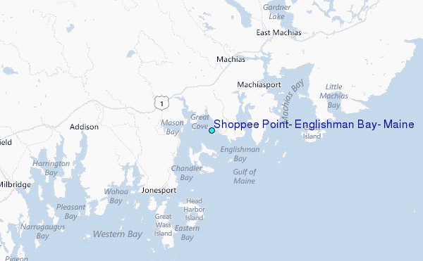
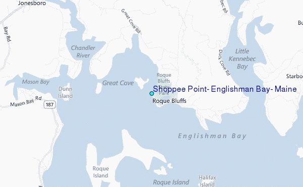
Choose Shoppee Point, Englishman Bay, Maine Location Map Zoom:
| Contours: | Roads & Rivers: | Select a
tide station / surf break / city |
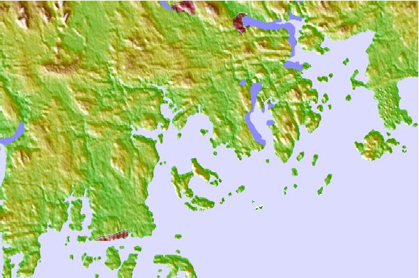
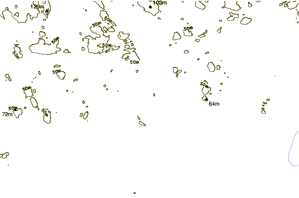
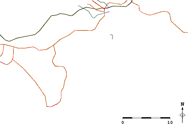
Use this relief map to navigate to tide stations, surf breaks and cities that are in the area of Shoppee Point, Englishman Bay, Maine.
Other Nearby Locations' tide tables and tide charts to Shoppee Point, Englishman Bay, Maine:
click location name for more details
 Surf breaks close to Shoppee Point, Englishman Bay, Maine:
|
||
|---|---|---|
| Closest surf break | Popham Read | 129 mi |
| Second closest surf break | Trayhan's | 137 mi |
| Third closest surf break | Summerville | 140 mi |
| Fourth closest surf break | White Point Beach | 144 mi |
| Fifth closest surf break | Scotts Bay | 145 mi |

 Nearest
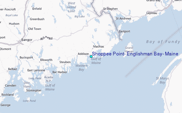