
| Distance / Altitude | Location | Report Date / Time | Live Weather | Wind | Gusts | Temp. | Visibility | Cloud |
|---|---|---|---|---|---|---|---|---|
| 78 km WSW / 14 m | UjungPandangHasanuddin (Indonesia) | 2024-04-25 11:00 local (2024/04/25 03:00 GMT) | - | calm (4 km/h at 130) | 32°C | 30 km | scattered | |
| 78 km ESE / 15 m | ASCATB121E5S (Marine) | 2024-04-25 09:37 local (2024/04/25 01:37 GMT) | light winds from the ENE (9 km/h at 60) | — | - km | |||
| 80 km WSW / 217 m | Hasanuddin/Ujung Airport (Indonesia) | 2024-04-25 10:30 local (2024/04/25 02:30 GMT) | - | calm (4 km/h at 1) | 32°C | 10.0 | few | |
| 92 km WSW / 1 m | UjangPandangPaotere (Indonesia) | 2024-04-25 11:00 local (2024/04/25 03:00 GMT) | - | light winds from the W (9 km/h at 280) | 31°C | 36 km | scattered | |
| 104 km NE / 15 m | ASCATB121E4S (Marine) | 2024-04-25 09:36 local (2024/04/25 01:36 GMT) | light winds from the NNE (12 km/h at 22) | — | - km |
| Contours: | Roads & Rivers: | Select a
tide station / surf break / city |
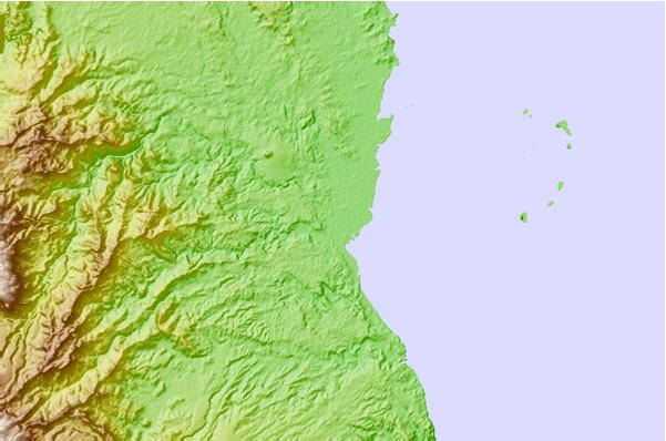
Use this relief map to navigate to tide stations, surf breaks and cities that are in the area of Sinjai.
Other Nearby Locations' tide tables and tide charts to Sinjai:
click location name for more details
 Surf breaks close to Sinjai:
|
||
|---|---|---|
| Closest surf break | Nungas | 284 mi |
| Second closest surf break | Periscope Point | 284 mi |
| Third closest surf break | Lakai Peak | 285 mi |
| Fourth closest surf break | Lakai Pipe | 285 mi |
| Fifth closest surf break | Bondo Kodi | 323 mi |

 Nearest