
| Distance / Altitude | Location | Report Date / Time | Live Weather | Wind | Gusts | Temp. | Visibility | Cloud |
|---|---|---|---|---|---|---|---|---|
| 6 km NNE / 187 m | Hato Air Curacao Airport (Virgin Islands) | 2024-04-19 10:00 local (2024/04/19 14:00 GMT) | - | light winds from the E (17 km/h at 90) | 31°C | 10.0 | few | |
| 6 km NNE / 0 m | HatoAirport-Curacao (78988 -1) (Curacao) | 2024-04-19 11:00 local (2024/04/19 15:00 GMT) | Haze | light winds from the E (17 km/h at 90) | 31°C | 38 km | - mostly cloudy - | |
| 76 km E / 175 m | Bonaire/Flamingo Airport (Lesser Antilles) | 2024-04-19 09:55 local (2024/04/19 13:55 GMT) | Dry and partly cloudy | moderate winds from the E.(Wind varies from 070 to 170 degs) (26 km/h at 100) | 31°C | 10.0 | few scattered | |
| 82 km E / 5 m | Dunkerbeck-Procenter (Bonaire, Saint Eustatius and Saba ) | 2024-04-19 11:00 local (2024/04/19 15:00 GMT) | - | fresh winds from the SE (31 km/h at 138) | 31°C | - | - - 0 | |
| 117 km W / 169 m | Queen Beatrix Airport (Lesser Antilles) | 2024-04-19 10:00 local (2024/04/19 14:00 GMT) | Dry and partly cloudy | fresh winds from the E (31 km/h at 80) | 30°C | 10.0 | scattered |
| Contours: | Roads & Rivers: | Select a
tide station / surf break / city |
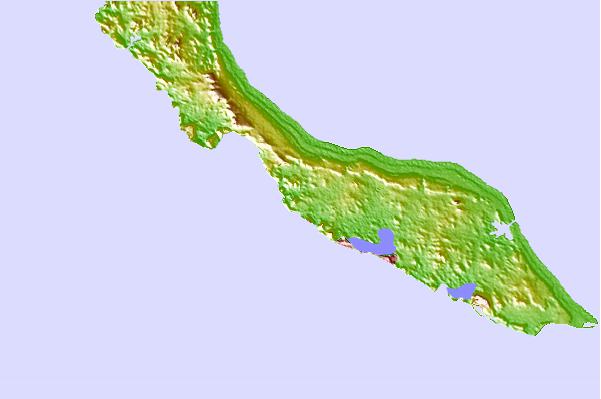
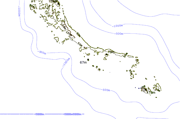
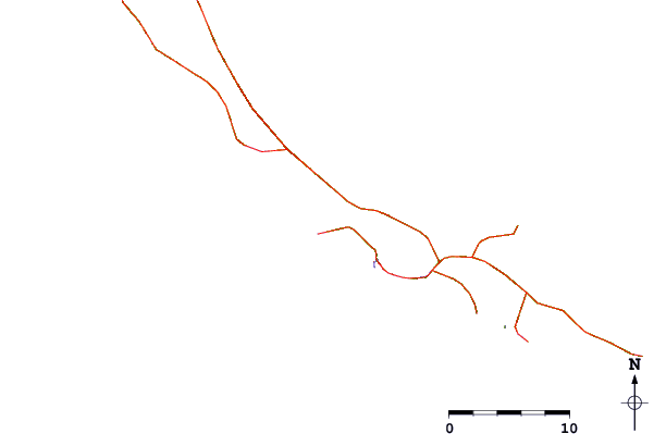
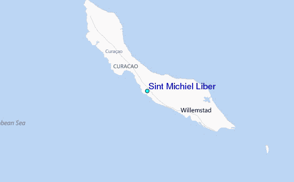
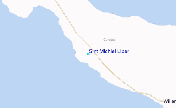
Use this relief map to navigate to tide stations, surf breaks and cities that are in the area of Sint Michiel Liber.
Other Nearby Locations' tide tables and tide charts to Sint Michiel Liber:
click location name for more details
 Surf breaks close to Sint Michiel Liber:
|
||
|---|---|---|
| Closest surf break | Muraya | 63 mi |
| Second closest surf break | Outside Rodger's Beach | 64 mi |
| Third closest surf break | Dos Playa | 68 mi |
| Fourth closest surf break | Andicuri | 71 mi |
| Fifth closest surf break | Shark Bay | 71 mi |

 Nearest
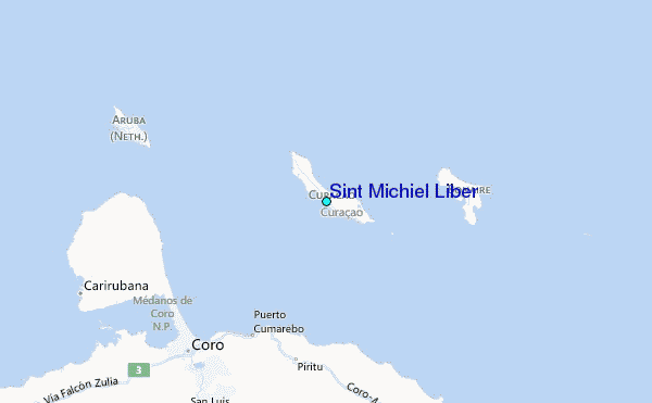