
| Distance / Altitude | Location | Report Date / Time | Live Weather | Wind | Gusts | Temp. | Visibility | Cloud |
|---|---|---|---|---|---|---|---|---|
| 17 km NE / 3 m | BUOY-MROS1 (Marine) | 2024-04-20 01:18 local (2024/04/20 05:18 GMT) | light winds from the SW (15 km/h at 220) | 21°C | - | |||
| 18 km NE / 205 m | Myrtle Beach Airport (South Carolina) | 2024-04-20 00:56 local (2024/04/20 04:56 GMT) | - | light winds from the S (11 km/h at 170) | 20°C | 16 | few | |
| 23 km SSW / 9 m | Georgetown (South Carolina) | 2024-04-20 00:46 local (2024/04/20 04:46 GMT) | dry | calm (0 km/h at 120) | 20°C | - | - - 0 | |
| 25 km S / 3 m | BUOY-NIWS1 (Marine) | 2024-04-20 00:45 local (2024/04/20 04:45 GMT) | calm (5 km/h at 210) | 21°C | - | |||
| 27 km SW / 5 m | Oatland wx (United States) | 2024-04-20 01:47 local (2024/04/20 05:47 GMT) | dry | calm (0 km/h at 97) | 19°C | - | - - 0 |
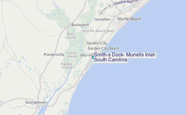
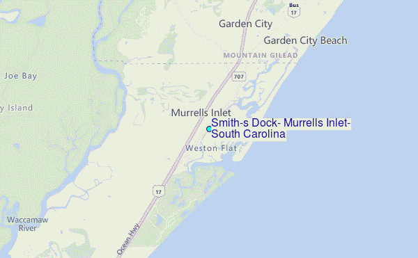
Choose Smith's Dock, Murrells Inlet, South Carolina Location Map Zoom:
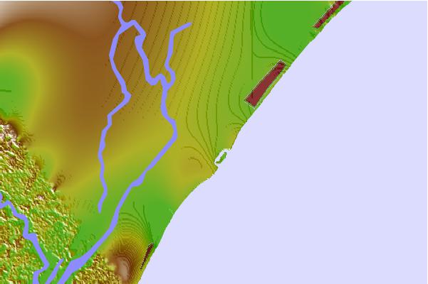
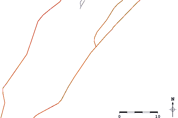
| Contours: | Roads & Rivers: | Select a
tide station / surf break / city |

Use this relief map to navigate to tide stations, surf breaks and cities that are in the area of Smith's Dock, Murrells Inlet, South Carolina.
Other Nearby Locations' tide tables and tide charts to Smith's Dock, Murrells Inlet, South Carolina:
click location name for more details
 Surf breaks close to Smith's Dock, Murrells Inlet, South Carolina:
|
||
|---|---|---|
| Closest surf break | Murrells Inlet | 1 mi |
| Second closest surf break | Garden City Pier | 4 mi |
| Third closest surf break | Surfside Pier | 6 mi |
| Fourth closest surf break | Ocean Lakes | 7 mi |
| Fifth closest surf break | Springmaid Pier | 11 mi |

 Nearest
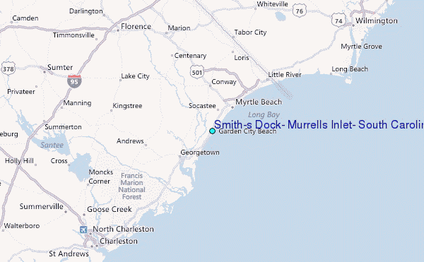