
| Distance / Altitude | Location | Report Date / Time | Live Weather | Wind | Gusts | Temp. | Visibility | Cloud |
|---|---|---|---|---|---|---|---|---|
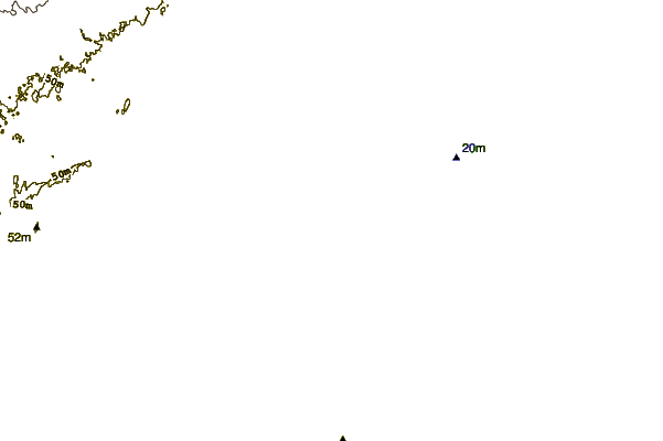
| 21 km NE / 16 m | Lac Saint -Pierre- Que (Canada) | 2024-04-19 19:00 local (2024/04/19 23:00 GMT) | no report | strong winds from the S (40 km/h at 190) | 12°C | - | - | |
| 21 km NE / 672 m | Lac St Pierre Airport (Quebec) | 2024-04-19 19:00 local (2024/04/19 23:00 GMT) | no report | strong winds from the S (40 km/h at 190) | 12°C | 0.0 | - - - | |
| 34 km W / 224 m | Lac-Rocher wx (Canada) | 2024-04-19 19:28 local (2024/04/19 23:28 GMT) | dry | calm (2 km/h at 333) | 24°C | - | - - 0 | |
| 35 km SSW / 644 m | L'assomption Airport (Quebec) | 2024-04-19 18:00 local (2024/04/19 22:00 GMT) | - | light winds from the SSE (13 km/h at 160) | 11°C | 0.0 | ||
| 36 km SSW / 21 m | Lassomption (Canada) | 2024-04-19 17:00 local (2024/04/19 21:00 GMT) | No report | light winds from the SSE (17 km/h at 160) | 12°C | - | - no observation - |
| Contours: | Roads & Rivers: | Select a
tide station / surf break / city |
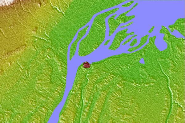
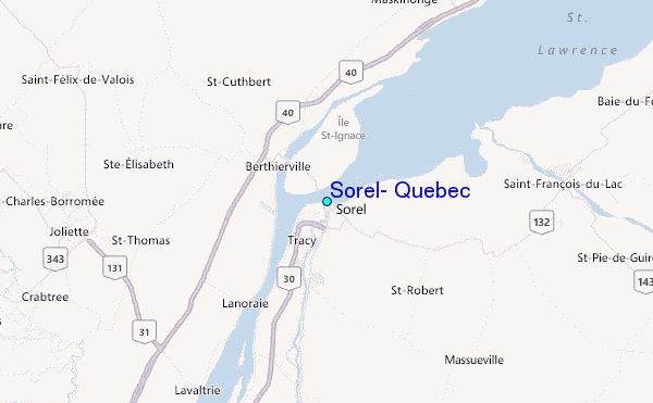
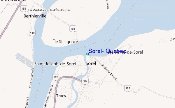
Use this relief map to navigate to tide stations, surf breaks and cities that are in the area of Sorel, Quebec.
Other Nearby Locations' tide tables and tide charts to Sorel, Quebec:
click location name for more details
 Surf breaks close to Sorel, Quebec:
|
||
|---|---|---|
| Closest surf break | Wolfe Island | 211 mi |
| Second closest surf break | Richardson Beach | 211 mi |
| Third closest surf break | Stony Point | 218 mi |
| Fourth closest surf break | Southwick Beach State Park | 220 mi |
| Fifth closest surf break | Old Orchard Beach | 221 mi |

 Nearest
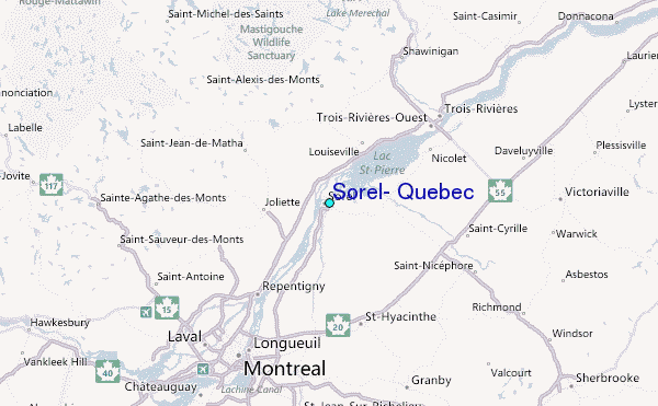