
| Distance / Altitude | Location | Report Date / Time | Live Weather | Wind | Gusts | Temp. | Visibility | Cloud |
|---|---|---|---|---|---|---|---|---|
| 28 km SSE / 215 m | Ile Bicquette Airport (Quebec) | 2024-04-20 03:00 local (2024/04/20 07:00 GMT) | - | moderate winds from the S (24 km/h at 190) | 8°C | 0.0 | ||
| 30 km SSE / 7 m | IleBicquette-Que (Canada) | 2024-04-20 02:00 local (2024/04/20 06:00 GMT) | - | moderate winds from the S (26 km/h at 180) | 8°C | - | no observation | |
| 47 km ESE / 5 m | Pointe -AU -Pere (Inrs)- Que (Canada) | 2024-04-20 03:00 local (2024/04/20 07:00 GMT) | no report | moderate winds from the S (22 km/h at 180) | 11°C | - | - no observation - | |
| 71 km S / 216 m | Ile Rouge Airport (Quebec) | 2024-04-20 03:00 local (2024/04/20 07:00 GMT) | - | fresh winds from the S (31 km/h at 190) | 6°C | 0.0 | ||
| 72 km S / 6 m | IleRouge-Que (Canada) | 2024-04-20 02:00 local (2024/04/20 06:00 GMT) | no report | fresh winds from the S (32 km/h at 190) | 6°C | - | - no observation - |
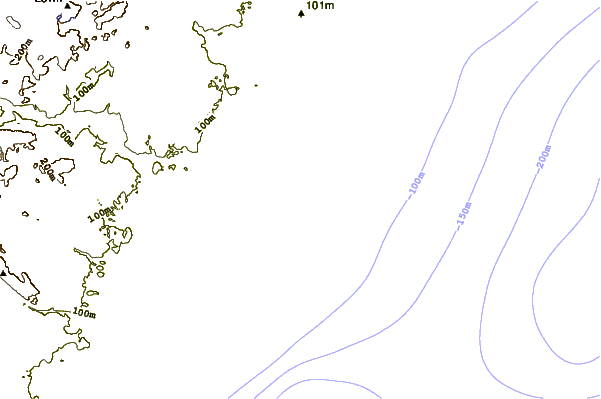
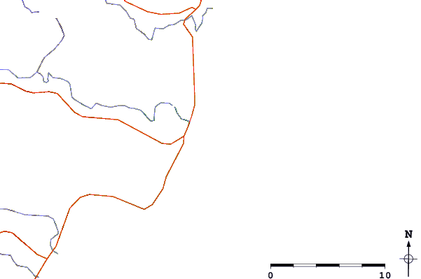
| Contours: | Roads & Rivers: | Select a
tide station / surf break / city |
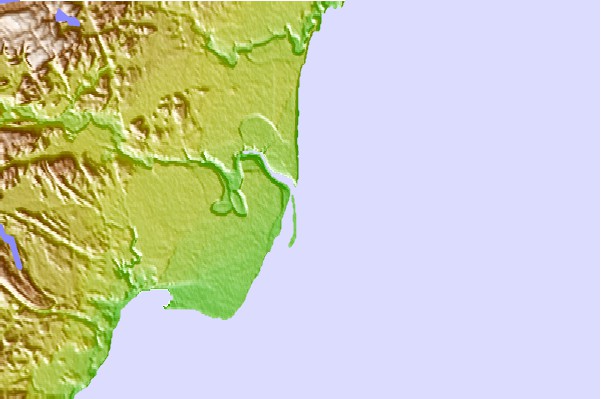
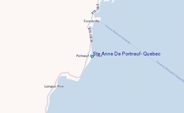
Use this relief map to navigate to tide stations, surf breaks and cities that are in the area of Ste Anne De Portneuf, Quebec.
Other Nearby Locations' tide tables and tide charts to Ste Anne De Portneuf, Quebec:
click location name for more details
 Surf breaks close to Ste Anne De Portneuf, Quebec:
|
||
|---|---|---|
| Closest surf break | Popham Read | 341 mi |
| Second closest surf break | Trayhan's | 341 mi |
| Third closest surf break | Doc Browns | 355 mi |
| Fourth closest surf break | Two Lights | 355 mi |
| Fifth closest surf break | Higgins Beach | 356 mi |

 Nearest
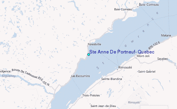