
| Distance / Altitude | Location | Report Date / Time | Live Weather | Wind | Gusts | Temp. | Visibility | Cloud |
|---|---|---|---|---|---|---|---|---|
| 10 km SE / 5 m | Cap -Chat- Que (Canada) | 2026-06-08 23:00 local (2026/06/09 03:00 GMT) | no report | wind obs. (11 kph from 240 degs) was rejected (- km/h at -) | 13°C | - | - no observation - | |
| 19 km SW / 197 m | Cap Chat Airport (Quebec) | 2026-06-08 23:00 local (2026/06/09 03:00 GMT) | - | light winds from the WSW (11 km/h at 240) | 13°C | 0.0 | ||
| 34 km SW / 3 m | SHIP4241 (Marine) | 2026-06-08 23:00 local (2026/06/09 03:00 GMT) | calm (2 km/h at 360) | 14°C | - | |||
| 34 km SW / 15 m | SHIP7391 (Marine) | 2026-06-08 22:00 local (2026/06/09 02:00 GMT) | calm (1.8 km/h at 70) | — | - km | |||
| 34 km SW / 15 m | SHIP3450 (Marine) | 2026-06-09 00:00 local (2026/06/09 04:00 GMT) | calm (5.4 km/h at 300) | — | - km | |||
| 34 km SW / 3 m | SHIP740 (Marine) | 2026-06-08 22:00 local (2026/06/09 02:00 GMT) | calm (2 km/h at 70) | 13°C | - | |||
| 34 km SW / 3 m | SHIP2428 (Marine) | 2026-06-08 23:00 local (2026/06/09 03:00 GMT) | calm (2 km/h at 360) | 14°C | - | |||
| 34 km SW / 3 m | SHIP5603 (Marine) | 2026-06-08 22:00 local (2026/06/09 02:00 GMT) | calm (2 km/h at 70) | 13°C | - | |||
| 34 km SW / 15 m | SHIP6532 (Marine) | 2026-06-08 22:00 local (2026/06/09 02:00 GMT) | calm (1.8 km/h at 70) | — | - km | |||
| 34 km SW / 15 m | SHIP4479 (Marine) | 2026-06-08 22:00 local (2026/06/09 02:00 GMT) | calm (1.8 km/h at 70) | — | - km |
| Contours: | Roads & Rivers: | Select a
tide station / surf break / city |
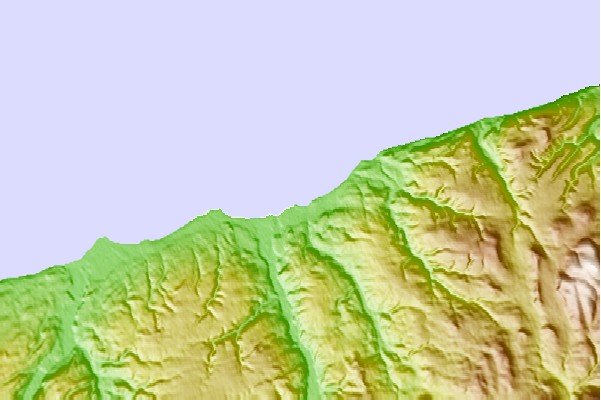
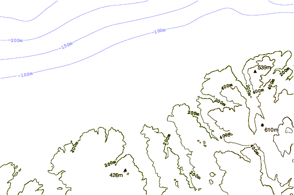
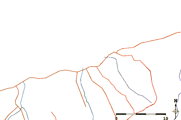
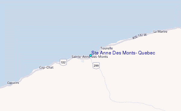
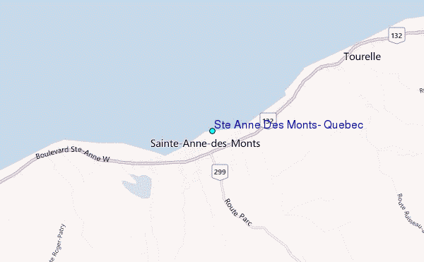
Use this relief map to navigate to tide stations, surf breaks and cities that are in the area of Ste Anne Des Monts, Quebec.
Other Nearby Locations' tide tables and tide charts to Ste Anne Des Monts, Quebec:
click location name for more details
 Surf breaks close to Ste Anne Des Monts, Quebec:
|
||
|---|---|---|
| Closest surf break | Ingonish Beach | 331 mi |
| Second closest surf break | Minutes | 343 mi |
| Third closest surf break | Backyards | 344 mi |
| Fourth closest surf break | Lawrencetown Right Point | 344 mi |
| Fifth closest surf break | Cow Bay | 344 mi |


 Nearest
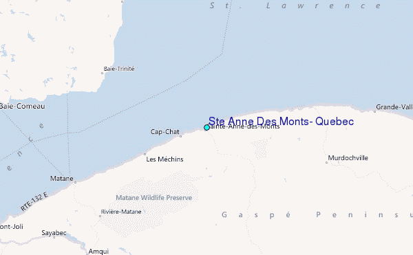