
| Distance / Altitude | Location | Report Date / Time | Live Weather | Wind | Gusts | Temp. | Visibility | Cloud |
|---|---|---|---|---|---|---|---|---|
| 20 km WSW / 244 m | Kangiqsujuaq Airport (Quebec) | 2024-04-20 08:08 local (2024/04/20 12:08 GMT) | Light snow | fresh winds from the N (37 km/h at 350) | -11°C | 6 | few overcast | |
| 118 km SW / 503 m | Parc National Des Pingualuit- Que (Canada) | 2024-04-20 07:00 local (2024/04/20 11:00 GMT) | no report | calm (4 km/h at 50) | -15°C | - | - | |
| 227 km W / 251 m | Salliut Airport (Quebec) | 2024-04-20 08:00 local (2024/04/20 12:00 GMT) | - | fresh winds from the NE (35 km/h at 50) | — | 0.0 | ||
| 278 km SSE / 132 m | Aupaluk Airport (Quebec) | 2024-04-20 08:00 local (2024/04/20 12:00 GMT) | Moderate snow | strong winds from the NNE (41 km/h at 20) | — | 0 | ||
| 286 km NNE / 14 m | Iqaluit (Canada) | 2024-04-20 08:00 local (2024/04/20 12:00 GMT) | no report | calm (4 km/h at 310) | -16°C | - | - no observation - |
| Contours: | Roads & Rivers: | Select a
tide station / surf break / city |
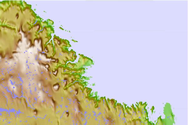
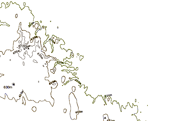
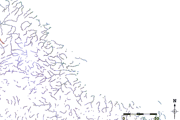
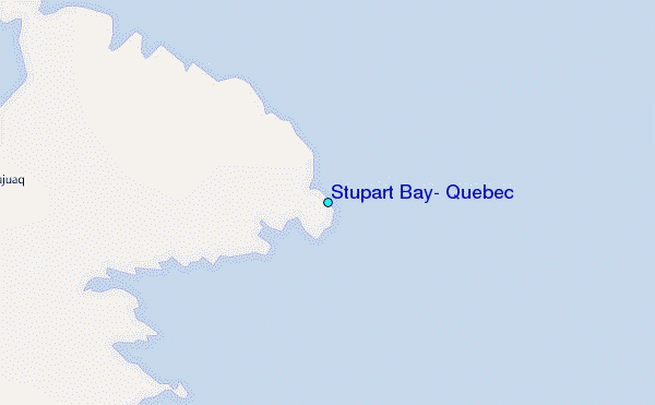
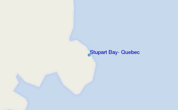
Use this relief map to navigate to tide stations, surf breaks and cities that are in the area of Stupart Bay, Quebec.
Other Nearby Locations' tide tables and tide charts to Stupart Bay, Quebec:
click location name for more details
 Surf breaks close to Stupart Bay, Quebec:
|
||
|---|---|---|
| Closest surf break | Marathon | 1063 mi |
| Second closest surf break | Alona Bay | 1124 mi |
| Third closest surf break | Ingonish Beach | 1124 mi |
| Fourth closest surf break | Bayfield | 1175 mi |
| Fifth closest surf break | Keweenaw Peninsula | 1175 mi |

 Nearest
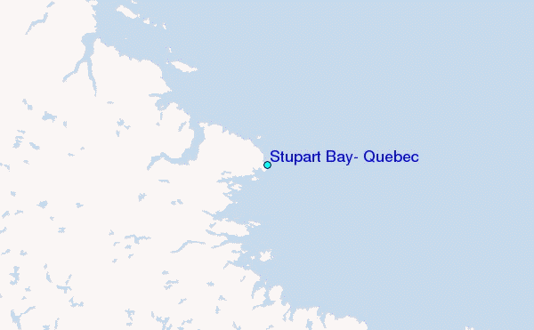