
| Distance / Altitude | Location | Report Date / Time | Live Weather | Wind | Gusts | Temp. | Visibility | Cloud |
|---|---|---|---|---|---|---|---|---|
| 25 km E / 219 m | Dagupan (Luzon Island) (Philippines) | 2024-04-19 05:00 local (2024/04/18 21:00 GMT) | no report | light winds from the SSE (7 km/h at 160) | 27°C | 8 | - scattered - | |
| 25 km E / 219 m | Dagupan (Philippines) | 2024-04-19 05:00 local (2024/04/18 21:00 GMT) | no report | light winds from the SSE (7 km/h at 160) | 27°C | 8 | - scattered - | |
| 66 km NE / 1501 m | Baguio (Philippines) | 2024-04-19 05:00 local (2024/04/18 21:00 GMT) | Fog at a distance | calm (4 km/h at 180) | 18°C | 27 km | - few - | |
| 83 km S / 5 m | Iba (Philippines) | 2024-04-19 05:00 local (2024/04/18 21:00 GMT) | Haze | calm (4 km/h at 80) | 27°C | 38 km | few | |
| 97 km SE / 19 m | Santa Lucia wx (Philippines) | 2024-04-19 06:28 local (2024/04/18 22:28 GMT) | dry | calm (3 km/h at 51) | 26°C | - | - - 0 |
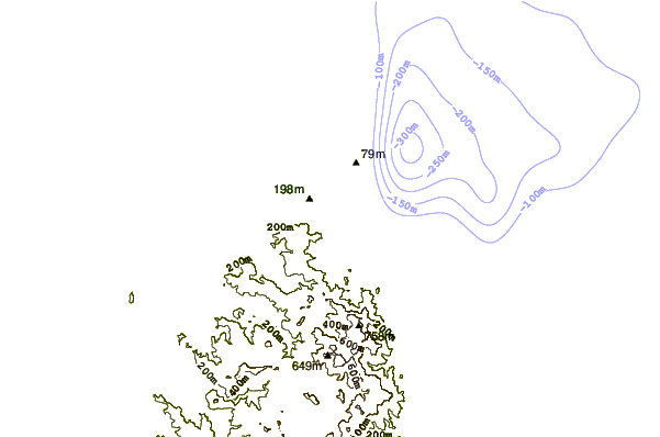
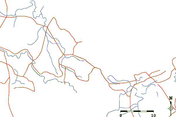
| Contours: | Roads & Rivers: | Select a
tide station / surf break / city |
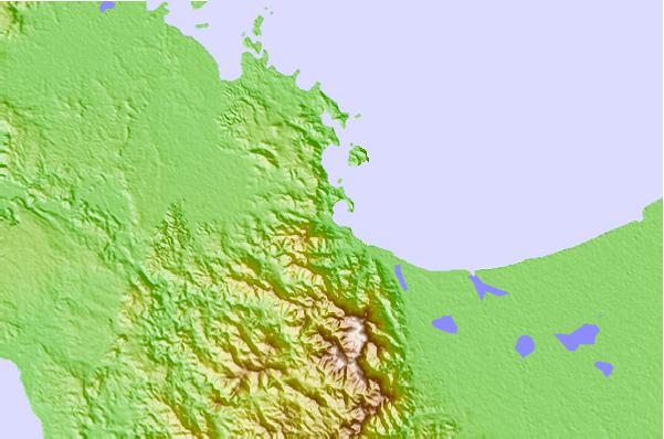
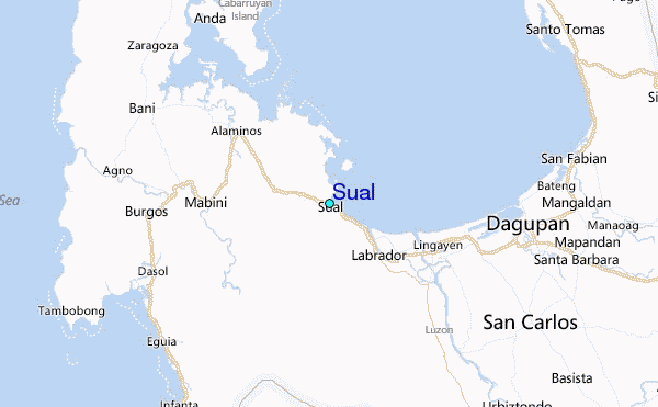
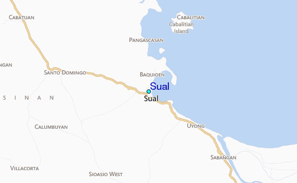
Use this relief map to navigate to tide stations, surf breaks and cities that are in the area of Sual.
Other Nearby Locations' tide tables and tide charts to Sual:
click location name for more details
 Surf breaks close to Sual:
|
||
|---|---|---|
| Closest surf break | Bauang | 36 mi |
| Second closest surf break | Poro Point | 39 mi |
| Third closest surf break | Car-rille | 40 mi |
| Fourth closest surf break | Mona Liza Point | 43 mi |
| Fifth closest surf break | San Juan | 44 mi |

 Nearest
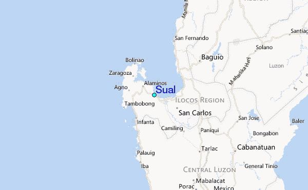