
| Distance / Altitude | Location | Report Date / Time | Live Weather | Wind | Gusts | Temp. | Visibility | Cloud |
|---|---|---|---|---|---|---|---|---|
| 10 km SE / 38 m | BanjulYundum (Gambia) | 2024-04-20 00:00 local (2024/04/20 00:00 GMT) | Haze | light winds from the S (11 km/h at 190) | 24°C | 29 km | - scattered - | |
| 13 km SSW / 162 m | Banjul/Yundum International Airport (Gambia) | 2024-04-20 01:00 local (2024/04/20 01:00 GMT) | Dry and partly cloudy | light winds from the SW (7 km/h at 220) | 24°C | 9.0 | no significant cloud | |
| 105 km NE / 7 m | Kaolack Airport (Senegal) | 2024-04-20 00:00 local (2024/04/20 00:00 GMT) | - | moderate winds from the N (22 km/h at 360) | — | 0.0 | ||
| 106 km NE / 115 m | Kaolack (Senegal) | 2024-04-20 00:00 local (2024/04/20 00:00 GMT) | - | moderate winds from the N (22 km/h at 360) | 32°C | 30 km | - clear - | |
| 107 km SSE / 482 m | Ziguinchor (Senegal) | 2024-04-20 01:00 local (2024/04/20 01:00 GMT) | - | light winds from the SW (11 km/h at 220) | — | 0.0 | - few - |
| Contours: | Roads & Rivers: | Select a
tide station / surf break / city |
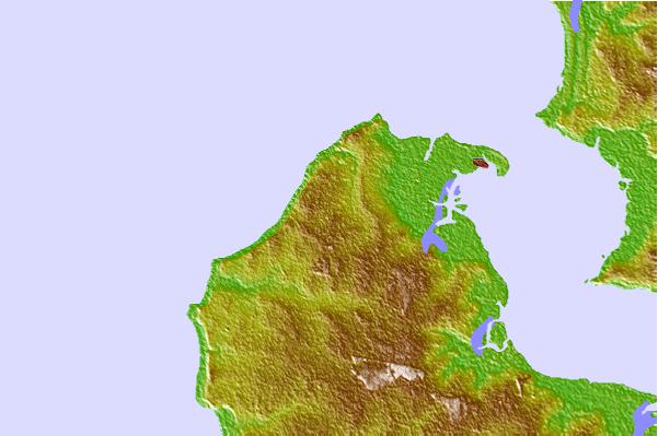
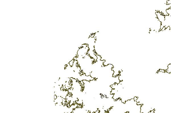
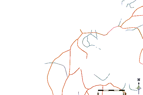
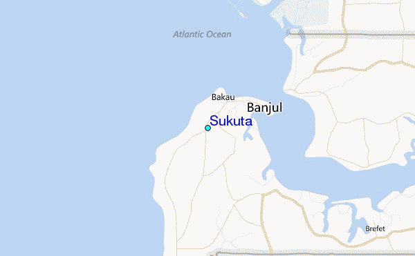
Use this relief map to navigate to tide stations, surf breaks and cities that are in the area of Sukuta.
Other Nearby Locations' tide tables and tide charts to Sukuta:
click location name for more details
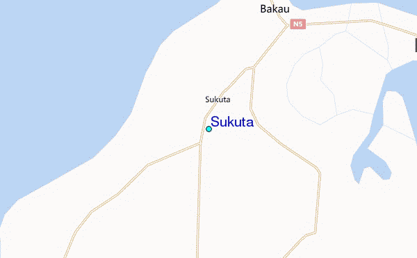
 Surf breaks close to Sukuta:
|
||
|---|---|---|
| Closest surf break | Kololi Kotu Kombo | 2 mi |
| Second closest surf break | Senegambia Beach | 2 mi |
| Third closest surf break | Cap Skirring | 73 mi |
| Fourth closest surf break | Baobab (Somone) | 77 mi |
| Fifth closest surf break | Piere de Lisse | 85 mi |

 Nearest
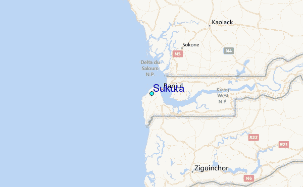