
| Distance / Altitude | Location | Report Date / Time | Live Weather | Wind | Gusts | Temp. | Visibility | Cloud |
|---|---|---|---|---|---|---|---|---|
| 36 km SSE / 82 m | Lerwick (United Kingdom) | 2024-04-24 19:00 local (2024/04/24 18:00 GMT) | Rain and snow or hail | fresh winds from the NNW (30 km/h at 340) | 4°C | 55 km | mostly cloudy | |
| 43 km NE / 15 m | Baltasound NO 2 (United Kingdom) | 2024-04-24 21:00 local (2024/04/24 20:00 GMT) | rain and snow or hail | light winds from the NNW (19 km/h at 340) | 3°C | 35 | - | |
| 63 km SSE / 15 m | SHIP4252 (Marine) | 2024-04-24 19:00 local (2024/04/24 18:00 GMT) | - (- km/h at -) | — | - km | |||
| 65 km S / 216 m | Sumburgh Airport (United Kingdom) | 2024-04-24 20:20 local (2024/04/24 19:20 GMT) | Dry and partly cloudy | light winds from the NNW (11 km/h at 340) | 3°C | 10.0 | few scattered | |
| 74 km W / 3 m | Clair (Marine) | 2024-04-24 21:00 local (2024/04/24 20:00 GMT) | - (- km/h at -) | — | - |
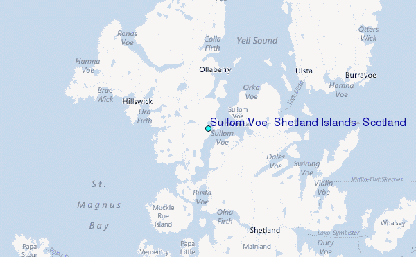
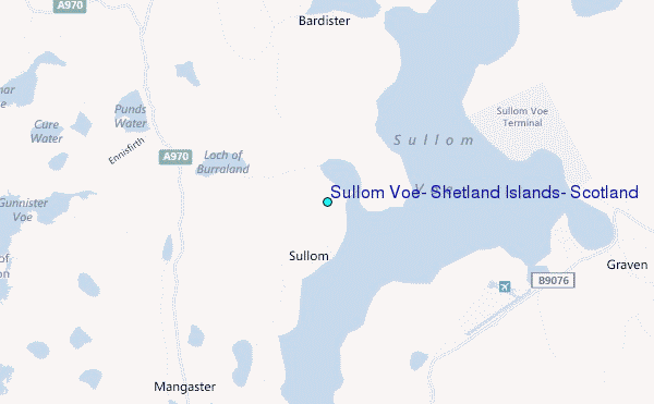
Choose Sullom Voe, Shetland Islands, Scotland Location Map Zoom:
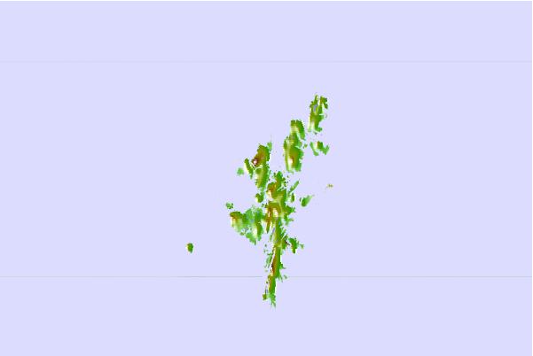
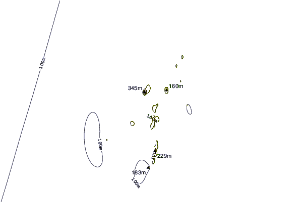
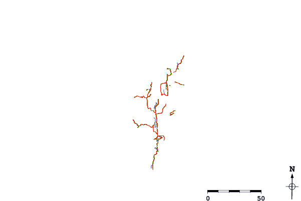
| Contours: | Roads & Rivers: | Select a
tide station / surf break / city |
Use this relief map to navigate to tide stations, surf breaks and cities that are in the area of Sullom Voe, Shetland Islands, Scotland.
Other Nearby Locations' tide tables and tide charts to Sullom Voe, Shetland Islands, Scotland:
click location name for more details
 Surf breaks close to Sullom Voe, Shetland Islands, Scotland:
|
||
|---|---|---|
| Closest surf break | Mill Bay | 101 mi |
| Second closest surf break | Saviskaill Bay | 105 mi |
| Third closest surf break | Birsay Bay | 114 mi |
| Fourth closest surf break | Bay of Skaill | 119 mi |
| Fifth closest surf break | Grim Ness | 124 mi |

 Nearest
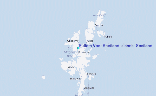