
| Distance / Altitude | Location | Report Date / Time | Live Weather | Wind | Gusts | Temp. | Visibility | Cloud |
|---|---|---|---|---|---|---|---|---|
| 95 km ESE / 7 m | YampiSound(Defence) (Australia) | 2026-06-09 16:00 local (2026/06/09 08:00 GMT) | no report | wind obs. (9 kph from 250 degs) was rejected (- km/h at -) | 27°C | - | - no observation - | |
| 97 km N / 6 m | AdeleIsland (Australia) | 2026-06-09 16:00 local (2026/06/09 08:00 GMT) | no report | wind obs. (11 kph from 180 degs) was rejected (- km/h at -) | 26°C | - | - no observation - | |
| 121 km SSE / 7 m | Derby Airport (Australia) | 2026-06-09 16:00 local (2026/06/09 08:00 GMT) | no report | wind obs. (6 kph from 350 degs) was rejected (- km/h at -) | 27°C | - | - - - | |
| 149 km SSE / 78 m | Curtin (Australia) | 2026-06-09 14:00 local (2026/06/09 06:00 GMT) | no report | wind obs. (9 kph from 160 degs) was rejected (- km/h at -) | 27°C | - | - | |
| 150 km SSE / 212 m | Curtin/Derby Airport (Australia) | 2026-06-09 16:00 local (2026/06/09 08:00 GMT) | Dry and partly cloudy | light winds from the SSW (9 km/h at 210) | 30°C | 10.0 | no cloud no observation - | |
| 200 km S / 218 m | Broome Airport (Australia) | 2026-06-09 15:30 local (2026/06/09 07:30 GMT) | Dry and partly cloudy | light winds from the WSW (19 km/h at 250) | 28°C | 10.0 | no cloud | |
| 200 km NE / 15 m | SHIP3436 (Marine) | 2026-06-09 16:00 local (2026/06/09 08:00 GMT) | light winds from the NNW (14.4 km/h at 330) | 28°C | - km | |||
| 201 km S / 9 m | Broome Airport (Australia) | 2026-06-09 16:00 local (2026/06/09 08:00 GMT) | no report | light winds from the W (15 km/h at 260) | 27°C | - | - no observation - | |
| 206 km S / 0 m | BroomeNtcAws (Australia) | 2026-06-09 16:00 local (2026/06/09 08:00 GMT) | - | light winds from the W (11 km/h at 260) | 25°C | - | no observation | |
| 209 km NE / 15 m | SHIP7137 (Marine) | 2026-06-09 15:00 local (2026/06/09 07:00 GMT) | light winds from the NW (14.4 km/h at 320) | 28°C | - km |

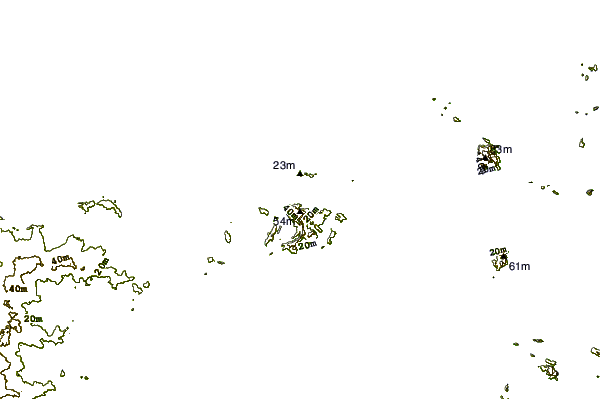
| Contours: | Roads & Rivers: | Select a
tide station / surf break / city |
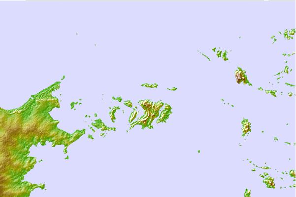
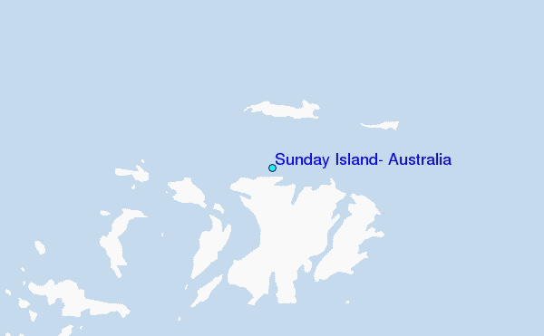
Use this relief map to navigate to tide stations, surf breaks and cities that are in the area of Sunday Island, Australia.
Other Nearby Locations' tide tables and tide charts to Sunday Island, Australia:
click location name for more details
 Surf breaks close to Sunday Island, Australia:
|
||
|---|---|---|
| Closest surf break | Cable Beach (Broome) | 122 mi |
| Second closest surf break | Gantheaume Point (Broome) | 128 mi |
| Third closest surf break | Ndana | 375 mi |
| Fourth closest surf break | Boa | 378 mi |
| Fifth closest surf break | Peanuts | 378 mi |


 Nearest
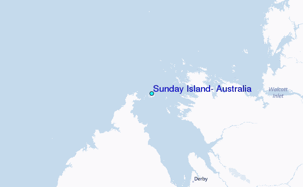