
| Distance / Altitude | Location | Report Date / Time | Live Weather | Wind | Gusts | Temp. | Visibility | Cloud |
|---|---|---|---|---|---|---|---|---|
| 2 km WSW / 3 m | SurabayaPerakII (Indonesia) | 2024-04-20 13:00 local (2024/04/20 06:00 GMT) | - | light winds from the E (11 km/h at 100) | 33°C | 31 km | - scattered - | |
| 18 km SSE / 2 m | Juanda Airport (Indonesia) | 2024-04-20 13:30 local (2024/04/20 06:30 GMT) | - | light winds from the ENE (15 km/h at 60) | 34°C | 30 km | few scattered - | |
| 132 km E / 3 m | Kalianget(MaduraIs) (Indonesia) | 2024-04-20 13:00 local (2024/04/20 06:00 GMT) | - | light winds from the E (17 km/h at 100) | 32°C | 30 km | - scattered - | |
| 151 km N / 3 m | Sangkapura(BaweanIs.) (Indonesia) | 2024-04-20 13:00 local (2024/04/20 06:00 GMT) | - | light winds from the ESE (17 km/h at 110) | 32°C | 30 km | scattered | |
| 212 km ESE / 221 m | Banyuwangi (Indonesia) | 2024-04-20 13:00 local (2024/04/20 06:00 GMT) | - | moderate winds from the SSE (22 km/h at 150) | 31°C | 30 km | mostly cloudy |
| Contours: | Roads & Rivers: | Select a
tide station / surf break / city |
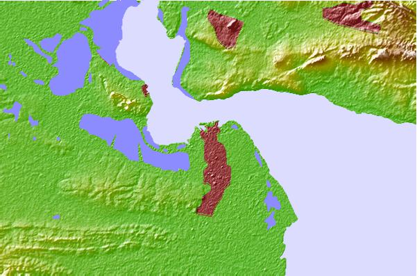
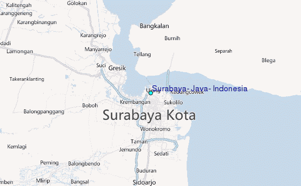
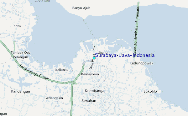
Use this relief map to navigate to tide stations, surf breaks and cities that are in the area of Surabaya, Java, Indonesia.
Other Nearby Locations' tide tables and tide charts to Surabaya, Java, Indonesia:
click location name for more details
 Surf breaks close to Surabaya, Java, Indonesia:
|
||
|---|---|---|
| Closest surf break | Grajagan Bay/G-Land | 152 mi |
| Second closest surf break | Tanjung Kucur | 155 mi |
| Third closest surf break | Medewi | 165 mi |
| Fourth closest surf break | Balian | 177 mi |
| Fifth closest surf break | Pererenan | 192 mi |

 Nearest
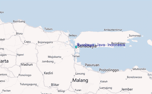