
| Distance / Altitude | Location | Report Date / Time | Live Weather | Wind | Gusts | Temp. | Visibility | Cloud |
|---|---|---|---|---|---|---|---|---|
| 24 km SSE / 3 m | BUOY-CDRF1 (Marine) | 2026-06-09 01:20 local (2026/06/09 05:20 GMT) | moderate winds from the E (24 km/h at 90) | 27°C | - | |||
| 25 km NNE / 219 m | Cross City Airport (Florida) | 2026-06-09 00:35 local (2026/06/09 04:35 GMT) | Clear | light winds from the E (9 km/h at 100) | 26°C | 16 | ||
| 25 km SSE / 3 m | BUOY-CKYF1 (Marine) | 2026-06-09 01:00 local (2026/06/09 05:00 GMT) | moderate winds from the E (26 km/h at 90) | 27°C | - | |||
| 69 km WNW / 3 m | BUOY-KTNF1 (Marine) | 2026-06-09 01:20 local (2026/06/09 05:20 GMT) | calm (2 km/h at 70) | 27°C | - | |||
| 77 km SE / 3 m | Crystal River Airport (Florida) (Florida) | 2026-06-09 00:35 local (2026/06/09 04:35 GMT) | Dry and partly cloudy | light winds from the E (6 km/h at 90) | 25°C | 16 | scattered | |
| 78 km NE / 22 m | Fort White (Florida) | 2026-06-09 01:29 local (2026/06/09 05:29 GMT) | dry | calm (0 km/h at 0) | 23°C | - | - - 0 | |
| 88 km E / 35 m | Reddick (Florida) | 2026-06-09 01:39 local (2026/06/09 05:39 GMT) | dry | calm (0 km/h at 63) | 21°C | - | - - 0 | |
| 92 km NW / 14 m | Perry Foley Airport (Florida) (Florida) | 2026-06-09 00:35 local (2026/06/09 04:35 GMT) | Dry and cloudy | calm (0 km/h at 0) | 26°C | 16 | scattered overcast | |
| 93 km E / 220 m | Ocala Municipal Airport (Florida) | 2026-06-08 23:51 local (2026/06/09 03:51 GMT) | Clear | light winds from the E (11 km/h at 100) | 24°C | 16 | ||
| 94 km ENE / 216 m | Gainesville Airport (Florida) | 2026-06-08 23:53 local (2026/06/09 03:53 GMT) | Clear | light winds from the ESE (6 km/h at 110) | 23°C | 16 |
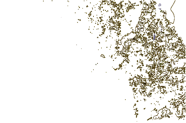
| Contours: | Roads & Rivers: | Select a
tide station / surf break / city |
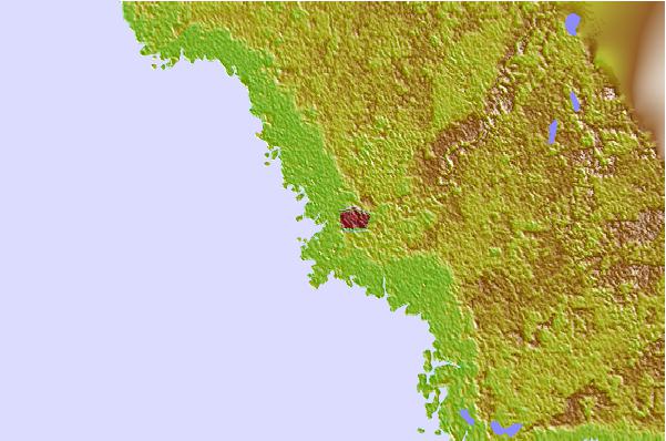
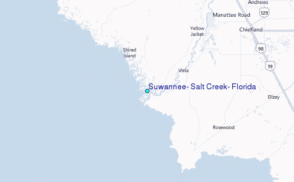
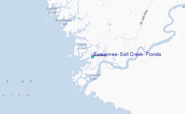
Use this relief map to navigate to tide stations, surf breaks and cities that are in the area of Suwannee, Salt Creek, Florida.
Other Nearby Locations' tide tables and tide charts to Suwannee, Salt Creek, Florida:
click location name for more details
 Surf breaks close to Suwannee, Salt Creek, Florida:
|
||
|---|---|---|
| Closest surf break | Anclote Island | 81 mi |
| Second closest surf break | Honeymoon Island | 86 mi |
| Third closest surf break | Clearwater Pass | 96 mi |
| Fourth closest surf break | Sand Key Park | 97 mi |
| Fifth closest surf break | Clearwater Beach | 98 mi |


 Nearest
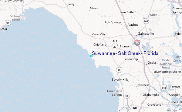