
| Distance / Altitude | Location | Report Date / Time | Live Weather | Wind | Gusts | Temp. | Visibility | Cloud |
|---|---|---|---|---|---|---|---|---|
| 319 km E / 3 m | SHIP1121 (Marine) | 2024-04-16 10:00 local (2024/04/16 10:00 GMT) | - (- km/h at -) | 36°C | - | |||
| 356 km NE / 1 m | Yamoussoukro Airport (Cote D'ivoire) | 2024-04-16 09:00 local (2024/04/16 09:00 GMT) | Dry and partly cloudy | calm (0 km/h at 0) | 28°C | 10.0 | scattered | |
| 387 km W / 414 m | Roberts International Airport/Monrovia (Liberia) | 2024-04-16 09:30 local (2024/04/16 09:30 GMT) | Dry and partly cloudy | light winds from the ESE (7 km/h at 120) | 29°C | 10.0 | scattered few - | |
| 393 km ENE / 218 m | Abidjan Port Bou Airport (Cote D'ivoire) | 2024-04-16 09:30 local (2024/04/16 09:30 GMT) | - | light winds from the S.(Wind varies from 140 to 220 degs) (9 km/h at 180) | 32°C | 10.0 | few | |
| 447 km NE / 376 m | Bouaké Airport (Cote d'ivoire) | 2024-04-16 10:00 local (2024/04/16 10:00 GMT) | - | light winds from the SSE (11 km/h at 160) | 30°C | 10.0 | few |
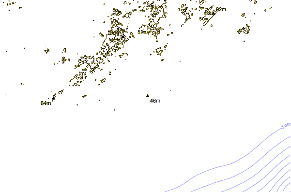
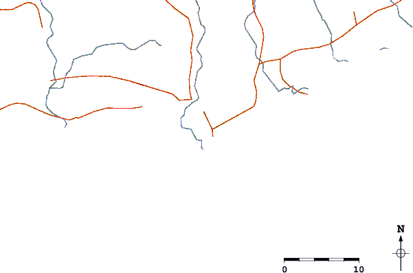
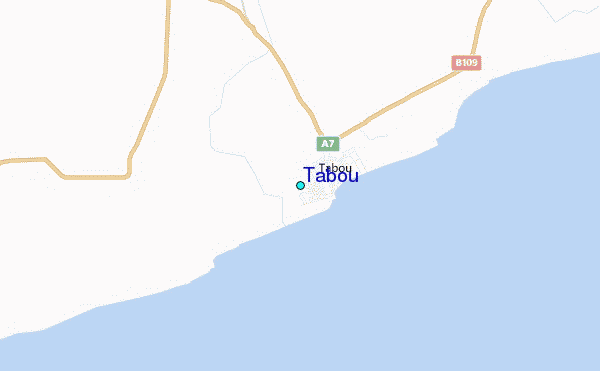
| Contours: | Roads & Rivers: | Select a
tide station / surf break / city |
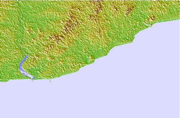
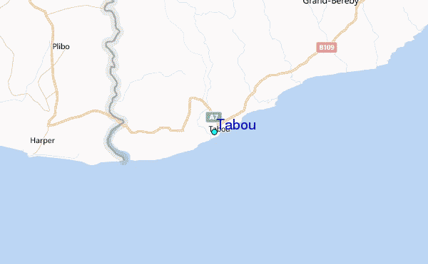
Use this relief map to navigate to tide stations, surf breaks and cities that are in the area of Tabou.
Other Nearby Locations' tide tables and tide charts to Tabou:
click location name for more details
 Surf breaks close to Tabou:
|
||
|---|---|---|
| Closest surf break | Baie des Sirènes | 35 mi |
| Second closest surf break | Niega | 50 mi |
| Third closest surf break | San Pedro | 55 mi |
| Fourth closest surf break | Monogaga | 69 mi |
| Fifth closest surf break | Grand Drewin | 88 mi |

 Nearest
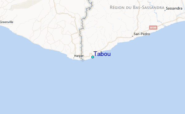