
| Distance / Altitude | Location | Report Date / Time | Live Weather | Wind | Gusts | Temp. | Visibility | Cloud |
|---|---|---|---|---|---|---|---|---|
| 85 km S / 283 m | Poca Rica New Airport (Mexico) | 2024-04-25 10:40 local (2024/04/25 15:40 GMT) | Dry and partly cloudy | light winds from the ESE (11 km/h at 120) | 29°C | 6 | broken broken | |
| 119 km NW / 275 m | Tampico/General Francisco Javier Mina International Airpor Airport (Mexico) | 2024-04-25 09:51 local (2024/04/25 14:51 GMT) | Dry and partly cloudy | light winds from the SSE (11 km/h at 160) | 26°C | 8 | broken | |
| 134 km NW / 25 m | Tampico-Tamps (Mexico) | 2024-04-25 10:00 local (2024/04/25 15:00 GMT) | - | light winds from the SE (14 km/h at 130) | 28°C | 42 km | - mostly cloudy - | |
| 142 km WSW / 132 m | Matlapa-S.l.p. (Mexico) | 2024-04-25 10:00 local (2024/04/25 15:00 GMT) | Haze | calm (0 km/h at 0) | 26°C | 40 km | - few - | |
| 142 km NW / 11 m | El Ensayo wx (Mexico) | 2024-04-25 11:05 local (2024/04/25 16:05 GMT) | dry | light winds from the SSE (14 km/h at 147) | 28°C | - | - - 0 |
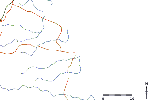
| Contours: | Roads & Rivers: | Select a
tide station / surf break / city |

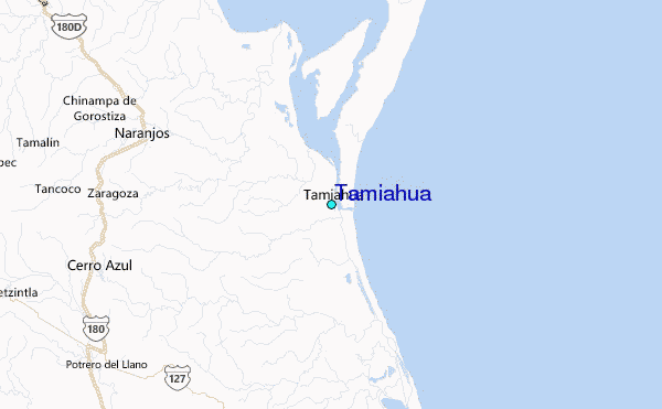
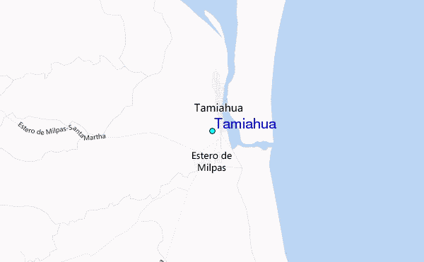
Use this relief map to navigate to tide stations, surf breaks and cities that are in the area of Tamiahua.
Other Nearby Locations' tide tables and tide charts to Tamiahua:
click location name for more details
 Surf breaks close to Tamiahua:
|
||
|---|---|---|
| Closest surf break | Boca Chica | 333 mi |
| Second closest surf break | South Padre Island | 334 mi |
| Third closest surf break | Cove | 334 mi |
| Fourth closest surf break | Port Isabel | 336 mi |
| Fifth closest surf break | Las Animas | 339 mi |

 Nearest
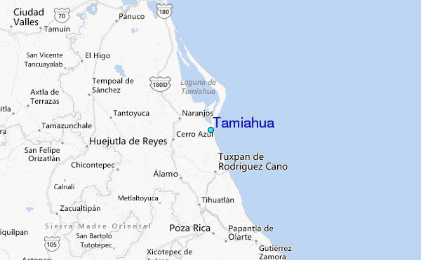