
| Distance / Altitude | Location | Report Date / Time | Live Weather | Wind | Gusts | Temp. | Visibility | Cloud |
|---|---|---|---|---|---|---|---|---|
| 11 km E / 44 m | TanjungPandanBuluhTumbang (Indonesia) | 2024-04-26 01:00 local (2024/04/25 18:00 GMT) | - | calm (0 km/h at 0) | 25°C | 26 km | - clear - | |
| 181 km W / 33 m | PangkalPinang (Indonesia) | 2024-04-26 01:00 local (2024/04/25 18:00 GMT) | - | light winds from the WSW (6 km/h at 250) | 26°C | 27 km | mostly cloudy | |
| 276 km ENE / 9 m | KetapangRahadiUsman (Indonesia) | 2024-04-26 01:00 local (2024/04/25 18:00 GMT) | - | calm (4 km/h at 90) | 26°C | 26 km | - mostly cloudy - | |
| 328 km WSW / 353 m | Palembang/Sultan Mahmud Badaruddin II Airport (Indonesia) | 2024-04-26 01:00 local (2024/04/25 18:00 GMT) | Dry and partly cloudy | wind obs. (6 kph from 210 degs) was rejected (- km/h at -) | 26°C | 10.0 | scattered | |
| 328 km WSW / 10 m | PalembangSt.M.Badarudin II (Indonesia) | 2024-04-26 01:00 local (2024/04/25 18:00 GMT) | - | light winds from the SSW (15 km/h at 210) | 26°C | 30 km | - mostly cloudy - |
| Contours: | Roads & Rivers: | Select a
tide station / surf break / city |
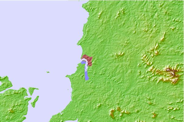
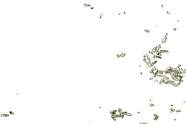

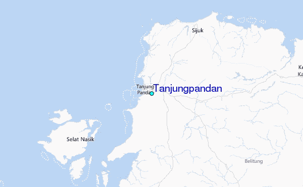
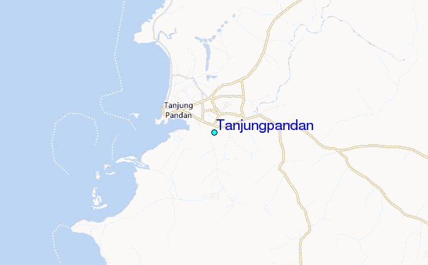
Use this relief map to navigate to tide stations, surf breaks and cities that are in the area of Tanjungpandan.
Other Nearby Locations' tide tables and tide charts to Tanjungpandan:
click location name for more details
 Surf breaks close to Tanjungpandan:
|
||
|---|---|---|
| Closest surf break | Cimaja | 302 mi |
| Second closest surf break | Indicators point | 302 mi |
| Third closest surf break | Karang Haji - Ocean Queen Hotel | 302 mi |
| Fourth closest surf break | Samudra | 303 mi |
| Fifth closest surf break | Benkunqut | 305 mi |

 Nearest
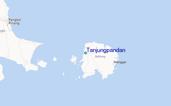