
| Distance / Altitude | Location | Report Date / Time | Live Weather | Wind | Gusts | Temp. | Visibility | Cloud |
|---|---|---|---|---|---|---|---|---|
| 9 km ENE / 20 m | Separation Point (Abel Tasman National Park) (New Zealand) | 2024-04-24 12:10 local (2024/04/24 00:10 GMT) | No weather report | light winds from the SE (11 km/h at 135) | — | - | - - - | |
| 10 km SSW / 15 m | Kotinga (Golden Bay) (New Zealand) | 2024-04-24 12:00 local (2024/04/24 00:00 GMT) | Dry | (- km/h at -) | — | - | - - - | |
| 23 km S / 643 m | Takaka Hill Caves (New Zealand) | 2024-04-24 12:10 local (2024/04/24 00:10 GMT) | Dry | calm (4 km/h at 135) | 14°C | - | - - - | |
| 23 km SSE / 8 m | Marahau (New Zealand) | 2024-04-24 12:04 local (2024/04/24 00:04 GMT) | Dry | light winds from the NE (6 km/h at 45) | 17°C | - | - - - | |
| 23 km S / 700 m | Takaka Hill Airstrip (New Zealand) | 2024-04-24 12:00 local (2024/04/24 00:00 GMT) | - | strong winds from the WSW (41 km/h at 242) | 14°C | - | - - 0 |
| Contours: | Roads & Rivers: | Select a
tide station / surf break / city |

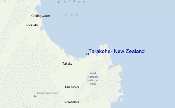
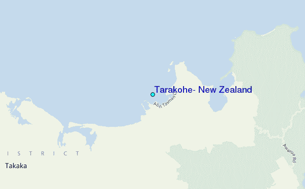
Use this relief map to navigate to tide stations, surf breaks and cities that are in the area of Tarakohe, New Zealand.
Other Nearby Locations' tide tables and tide charts to Tarakohe, New Zealand:
click location name for more details
 Surf breaks close to Tarakohe, New Zealand:
|
||
|---|---|---|
| Closest surf break | Tata Beach | 1 mi |
| Second closest surf break | Pohara Beach | 1 mi |
| Third closest surf break | Patons Rock | 7 mi |
| Fourth closest surf break | Onekaka | 11 mi |
| Fifth closest surf break | Para Para Rivermouth | 13 mi |

 Nearest
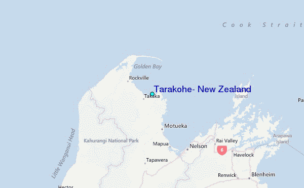