
| Distance / Altitude | Location | Report Date / Time | Live Weather | Wind | Gusts | Temp. | Visibility | Cloud |
|---|---|---|---|---|---|---|---|---|
| 10 km E / 15 m | SHIP11281 (Marine) | 2026-06-09 00:00 local (2026/06/09 07:00 GMT) | moderate winds from the NW (22.32 km/h at 320) | 7°C | - km | |||
| 10 km ESE / 3 m | BUOY-NEAW1 (Marine) | 2026-06-09 00:00 local (2026/06/09 07:00 GMT) | - (- km/h at -) | — | - | |||
| 11 km N / 3 m | Neah Bay Buoy (Marine) | 2026-06-09 00:20 local (2026/06/09 07:20 GMT) | light winds from the WNW (18 km/h at 300) | — | - | |||
| 10 km E / - m | SHIP1377 (ocean) | 2026-06-09 00:00 local (2026/06/09 07:00 GMT) | Mist | moderate winds from the NW (22 km/h at 320) | 10°C | - | no observation | |
| 10 km E / - m | SHIP1106 (ocean) | 2026-06-09 00:00 local (2026/06/09 07:00 GMT) | No report | moderate winds from the NW (22 km/h at 320) | 10°C | - | no observation | |
| 10 km E / - m | SHIP1857 (ocean) | 2026-06-09 00:00 local (2026/06/09 07:00 GMT) | Mist | moderate winds from the NW (22 km/h at 320) | 10°C | - | no observation | |
| 10 km E / - m | SHIP1253 (ocean) | 2026-06-09 00:00 local (2026/06/09 07:00 GMT) | No report | moderate winds from the NW (22 km/h at 320) | 10°C | - | no observation | |
| 10 km E / - m | SHIP25 (ocean) | 2026-06-09 00:00 local (2026/06/09 07:00 GMT) | No report | moderate winds from the NW (22 km/h at 320) | 10°C | - | no observation | |
| 10 km E / - m | SHIP296 (ocean) | 2026-06-09 00:00 local (2026/06/09 07:00 GMT) | Mist | moderate winds from the NW (22 km/h at 320) | 10°C | - | no observation | |
| 10 km ESE / 3 m | BUOY-NEAW1 (Marine) | 2026-06-09 00:00 local (2026/06/09 07:00 GMT) | - (- km/h at -) | — | - |
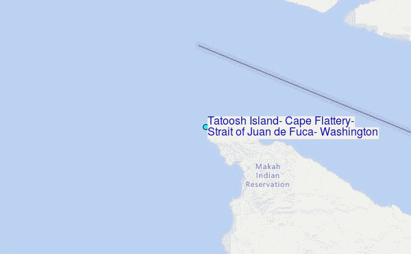
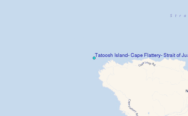
Choose Tatoosh Island, Cape Flattery, Strait of Juan de Fuca, Washington Location Map Zoom:
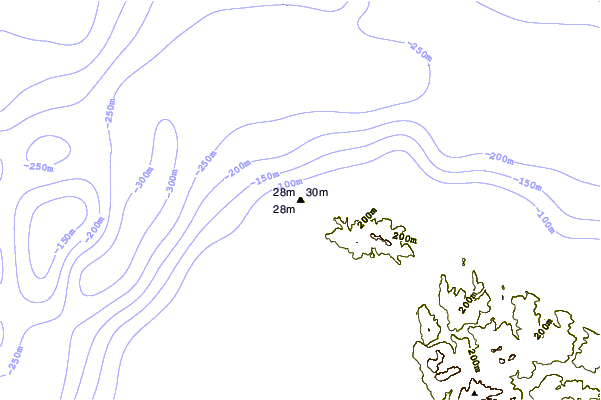
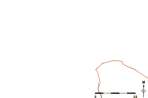
| Contours: | Roads & Rivers: | Select a
tide station / surf break / city |
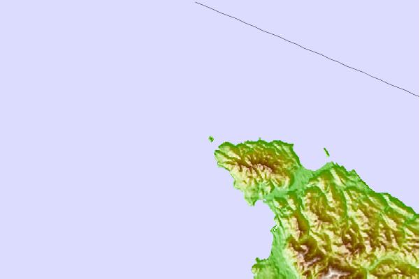
Use this relief map to navigate to tide stations, surf breaks and cities that are in the area of Tatoosh Island, Cape Flattery, Strait of Juan de Fuca, Washington.
Other Nearby Locations' tide tables and tide charts to Tatoosh Island, Cape Flattery, Strait of Juan de Fuca, Washington:
click location name for more details
 Surf breaks close to Tatoosh Island, Cape Flattery, Strait of Juan de Fuca, Washington:
|
||
|---|---|---|
| Closest surf break | The Dump | 3 mi |
| Second closest surf break | Hobuck/North Coast | 6 mi |
| Third closest surf break | Neah Bay | 6 mi |
| Fourth closest surf break | The Strait | 13 mi |
| Fifth closest surf break | Port Renfrew | 16 mi |


 Nearest
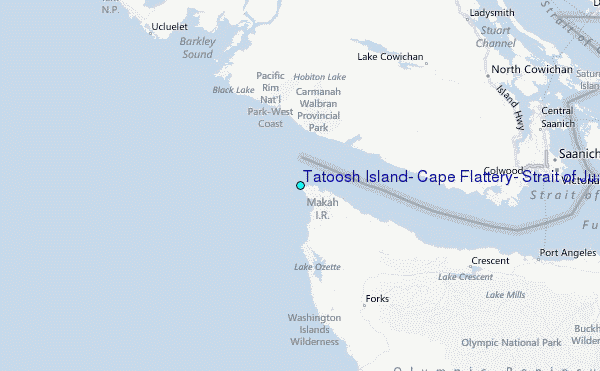