
| Distance / Altitude | Location | Report Date / Time | Live Weather | Wind | Gusts | Temp. | Visibility | Cloud |
|---|---|---|---|---|---|---|---|---|
| 5 km SSW / 5 m | Jupiter (Florida) | 2026-06-08 23:46 local (2026/06/09 03:46 GMT) | dry | calm (0 km/h at 155) | 26°C | - | - - 0 | |
| 6 km S / 5 m | North Palm Beach Heights wx (United States) | 2026-06-08 23:13 local (2026/06/09 03:13 GMT) | dry | calm (0 km/h at 149) | 25°C | - | - - 0 | |
| 7 km SSE / 4 m | Paradise Port wx (United States) | 2026-06-08 23:00 local (2026/06/09 03:00 GMT) | dry | calm (0 km/h at 91) | 27°C | - | - - 0 | |
| 16 km SSW / 7 m | West Palm Beach (FL) (Florida) | 2026-06-08 22:35 local (2026/06/09 02:35 GMT) | Light rain | calm (2 km/h at 20) | — | 16 | ||
| 22 km SSW / 4 m | The Acreage wx (United States) | 2026-06-08 23:16 local (2026/06/09 03:16 GMT) | dry | calm (0 km/h at 22) | 23°C | - | - - 0 | |
| 23 km NW / 7 m | Stuart (Florida) | 2026-06-08 23:43 local (2026/06/09 03:43 GMT) | dry | calm (0 km/h at 160) | 26°C | - | - - 0 | |
| 25 km WNW / 4 m | Queens Park wx (United States) | 2026-06-08 23:01 local (2026/06/09 03:01 GMT) | - | - (- km/h at ) | 25°C | - | - - 0 | |
| 26 km SSW / 5 m | West Palm Beach (Florida) | 2026-06-08 23:27 local (2026/06/09 03:27 GMT) | dry | calm (0 km/h at 45) | 23°C | - | - - 0 | |
| 26 km SSW / 20 m | Royal Palm Beach (Florida) | 2026-06-08 23:41 local (2026/06/09 03:41 GMT) | dry | calm (0 km/h at 72) | 23°C | - | - - 0 | |
| 28 km NW / 240 m | Stuart/Witham Field Airport (Florida) | 2026-06-08 22:35 local (2026/06/09 02:35 GMT) | Dry and cloudy | light winds from the E (11 km/h at 90) | 27°C | 16 | overcast |
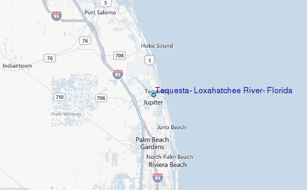
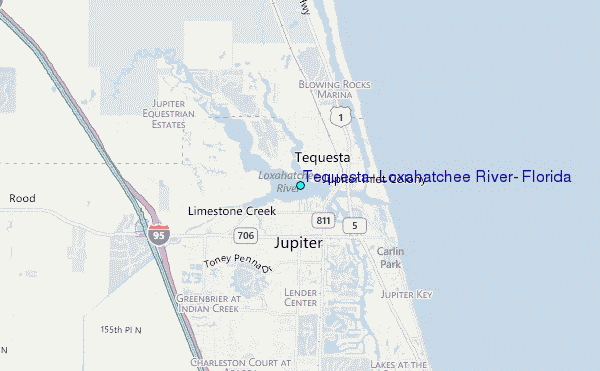
Choose Tequesta, Loxahatchee River, Florida Location Map Zoom:
| Contours: | Roads & Rivers: | Select a
tide station / surf break / city |
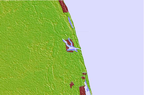
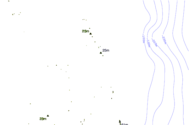
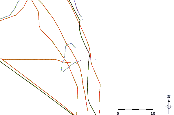
Use this relief map to navigate to tide stations, surf breaks and cities that are in the area of Tequesta, Loxahatchee River, Florida.
Other Nearby Locations' tide tables and tide charts to Tequesta, Loxahatchee River, Florida:
click location name for more details
 Surf breaks close to Tequesta, Loxahatchee River, Florida:
|
||
|---|---|---|
| Closest surf break | Coral Cove | 2 mi |
| Second closest surf break | Jupiter Inlet North Jetty | 2 mi |
| Third closest surf break | Jupiter Inlet North South Side | 2 mi |
| Fourth closest surf break | Jupiter Inlet South Jetty | 2 mi |
| Fifth closest surf break | Juno Pier | 5 mi |


 Nearest
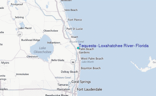