
| Distance / Altitude | Location | Report Date / Time | Live Weather | Wind | Gusts | Temp. | Visibility | Cloud |
|---|---|---|---|---|---|---|---|---|
| 4 km ESE / 218 m | Philadelphia Airport (Pennsylvania) | 2026-06-08 22:54 local (2026/06/09 02:54 GMT) | Dry and partly cloudy | light winds from the SSW (13 km/h at 210) | 18°C | 16 | scattered | |
| 7 km W / 45 m | Swarthmore (Pennsylvania) | 2026-06-09 00:00 local (2026/06/09 04:00 GMT) | dry | calm (0 km/h at 108) | 14°C | - | - - 0 | |
| 8 km WSW / 30 m | Wallingford (Pennsylvania) | 2026-06-08 23:41 local (2026/06/09 03:41 GMT) | dry | - (- km/h at ) | — | - | - - 0 | |
| 9 km N / 70 m | Beverly Hills wx (United States) | 2026-06-09 00:07 local (2026/06/09 04:07 GMT) | dry | calm (0 km/h at 220) | 16°C | - | - - 0 | |
| 10 km SSE / 21 m | Mickleton (New Jersey) | 2026-06-08 23:30 local (2026/06/09 03:30 GMT) | - | calm (3 km/h at 139) | 13°C | - | - - 0 | |
| 13 km ENE / 3 m | BUOY-PHBP1 (Marine) | 2026-06-08 23:30 local (2026/06/09 03:30 GMT) | - (- km/h at -) | 18°C | - | |||
| 13 km ENE / 5 m | Philadelphia (Pennsylvania) | 2026-06-08 23:36 local (2026/06/09 03:36 GMT) | dry | calm (5 km/h at 0) | 18°C | - | - - 0 | |
| 13 km ESE / 14 m | Woodbury Heights wx (United States) | 2026-06-09 00:14 local (2026/06/09 04:14 GMT) | dry | calm (0 km/h at 187) | 15°C | - | - - 0 | |
| 14 km SW / 30 m | Upper Chichester (Pennsylvania) | 2026-06-08 23:34 local (2026/06/09 03:34 GMT) | dry | calm (3 km/h at 360) | 16°C | - | - - 0 | |
| 14 km SW / 3 m | BUOY-MRCP1 (Marine) | 2026-06-08 23:30 local (2026/06/09 03:30 GMT) | - (- km/h at -) | 17°C | - |
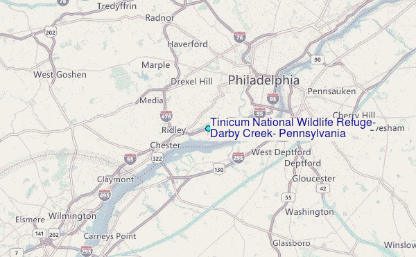
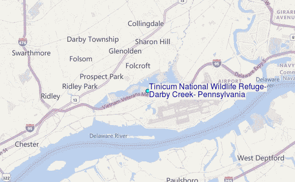
Choose Tinicum National Wildlife Refuge, Darby Creek, Pennsylvania Location Map Zoom:
| Contours: | Roads & Rivers: | Select a
tide station / surf break / city |
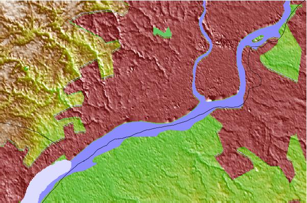
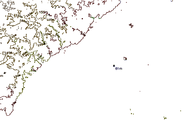
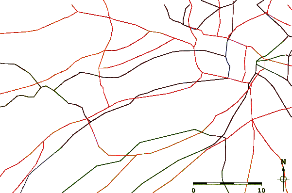
Use this relief map to navigate to tide stations, surf breaks and cities that are in the area of Tinicum National Wildlife Refuge, Darby Creek, Pennsylvania.
Other Nearby Locations' tide tables and tide charts to Tinicum National Wildlife Refuge, Darby Creek, Pennsylvania:
click location name for more details
 Surf breaks close to Tinicum National Wildlife Refuge, Darby Creek, Pennsylvania:
|
||
|---|---|---|
| Closest surf break | 8th Street Jetty | 56 mi |
| Second closest surf break | 5th Street | 56 mi |
| Third closest surf break | Great Egg Harbor Inlet Longport | 56 mi |
| Fourth closest surf break | Margate Pier | 56 mi |
| Fifth closest surf break | North Street | 56 mi |


 Nearest
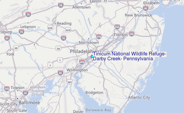