
| Distance / Altitude | Location | Report Date / Time | Live Weather | Wind | Gusts | Temp. | Visibility | Cloud |
|---|---|---|---|---|---|---|---|---|
| 20 km SW / 64 m | Auckland (New Zealand) | 2026-06-09 15:27 local (2026/06/09 03:27 GMT) | dry | moderate winds from the SSW (21 km/h at 209) | 16°C | - | - - 0 | |
| 22 km SW / 75 m | Albany (New Zealand) | 2026-06-09 15:29 local (2026/06/09 03:29 GMT) | dry | light winds from the SSW (13 km/h at 200) | 15°C | - | - - 0 | |
| 28 km S / 71 m | Kauri Point (New Zealand) | 2026-06-09 15:50 local (2026/06/09 03:50 GMT) | dry | wind obs. (10 kph from 25 degs) was rejected (- km/h at -) | 18°C | - | - - 0 | |
| 32 km S / 46 m | Auckland (New Zealand) | 2026-06-09 15:50 local (2026/06/09 03:50 GMT) | dry | moderate winds from the SSW (23 km/h at 210) | 16°C | - | - - 0 | |
| 33 km S / 6 m | Highland Park wx (New Zealand) | 2026-06-09 15:11 local (2026/06/09 03:11 GMT) | dry | moderate winds from the SSE (27 km/h at 165) | 17°C | - | - - 0 | |
| 36 km S / 54 m | Auckland (New Zealand) | 2026-06-09 15:50 local (2026/06/09 03:50 GMT) | dry | calm (0 km/h at 162) | 17°C | - | - - 0 | |
| 38 km SSW / 56 m | Ranui wx (New Zealand) | 2026-06-09 15:06 local (2026/06/09 03:06 GMT) | dry | calm (5 km/h at 164) | 16°C | - | - - 0 | |
| 46 km S / 7 m | Auckland Airport Automatic Weather Station (New Zealand) | 2026-06-09 15:00 local (2026/06/09 03:00 GMT) | Clear skies | strong winds from the SSW (39 km/h at 200) | 16°C | 10 km | no observation | |
| 46 km S / 7 m | Auckland International Airport (New Zealand) | 2026-06-09 14:00 local (2026/06/09 02:00 GMT) | Clear skies | fresh winds from the SW (37 km/h at 220) | 16°C | 10.0 | - no observation - | |
| 46 km S / 7 m | AucklandAeroAws (New Zealand) | 2026-06-09 15:00 local (2026/06/09 03:00 GMT) | Clear skies | strong winds from the SSW (39 km/h at 200) | 16°C | 10 km | no observation |
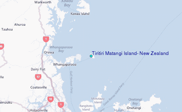
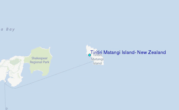
Choose Tiritiri Matangi Island, New Zealand Location Map Zoom:
| Contours: | Roads & Rivers: | Select a
tide station / surf break / city |
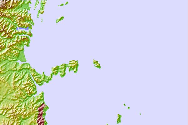
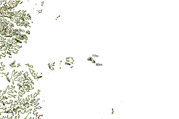
Use this relief map to navigate to tide stations, surf breaks and cities that are in the area of Tiritiri Matangi Island, New Zealand.
Other Nearby Locations' tide tables and tide charts to Tiritiri Matangi Island, New Zealand:
click location name for more details
 Surf breaks close to Tiritiri Matangi Island, New Zealand:
|
||
|---|---|---|
| Closest surf break | Fishermans Reef | 7 mi |
| Second closest surf break | Long Bay Reef | 9 mi |
| Third closest surf break | Red Beach | 9 mi |
| Fourth closest surf break | Orewa Beach | 11 mi |
| Fifth closest surf break | Browns Bay Bar | 11 mi |


 Nearest
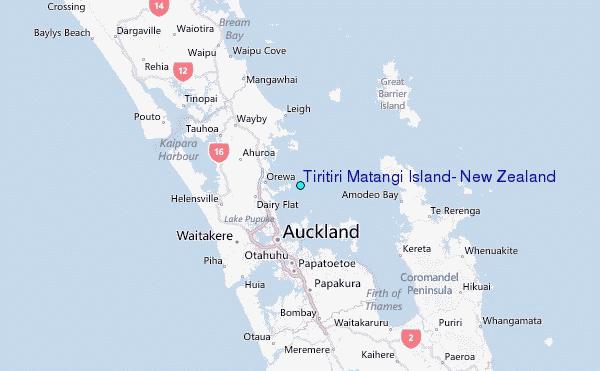