
| Distance / Altitude | Location | Report Date / Time | Live Weather | Wind | Gusts | Temp. | Visibility | Cloud |
|---|---|---|---|---|---|---|---|---|
| 16 km W / 36 m | Hakodate Airport (Japan) | 2026-06-09 18:00 local (2026/06/09 09:00 GMT) | Dry and partly cloudy | fresh winds from the W (30 km/h at 280) | 13°C | 10.0 | few scattered broken | |
| 73 km ENE / 15 m | hy2b142E42N (Marine) | 2026-06-09 17:05 local (2026/06/09 08:05 GMT) | strong winds from the WNW (44 km/h at 285) | — | - km | |||
| 99 km S / 7 m | Yunokawa wx (Japan) | 2026-06-09 19:35 local (2026/06/09 10:35 GMT) | dry | light winds from the WNW (18 km/h at 290) | 13°C | - | - - 0 | |
| 101 km S / 2 m | Kanagichō-sawabe wx (Japan) | 2026-06-09 19:10 local (2026/06/09 10:10 GMT) | dry | light winds from the WNW (14 km/h at 291) | 13°C | - | - - 0 | |
| 102 km S / 2 m | Furukawa wx (Japan) | 2026-06-09 19:35 local (2026/06/09 10:35 GMT) | dry | light winds from the WSW (14 km/h at 245) | 13°C | - | - - 0 | |
| 102 km S / 4 m | Jiyūgaoka wx (Japan) | 2026-06-09 19:49 local (2026/06/09 10:49 GMT) | dry | light winds from the WNW (8 km/h at 285) | 13°C | - | - - 0 | |
| 114 km S / 476 m | Aomori Airport (Japan) | 2026-06-09 18:00 local (2026/06/09 09:00 GMT) | Shower light rain shower | moderate winds from the W (20 km/h at 260) | 12°C | 10.0 | few broken broken | |
| 117 km ESE / 15 m | hy2b142E41N (Marine) | 2026-06-09 17:05 local (2026/06/09 08:05 GMT) | fresh winds from the W (35 km/h at 278) | — | - km | |||
| 117 km SSE / 217 m | Misawa Airport (Japan) | 2026-06-09 18:00 local (2026/06/09 09:00 GMT) | Dry and partly cloudy | fresh winds from the WNW (31 km/h at 300) | 16°C | 10.0 | few broken | |
| 131 km NNE / 218 m | Chitose Airport (Japan) | 2026-06-09 18:30 local (2026/06/09 09:30 GMT) | Dry and partly cloudy | moderate winds from the NNW (24 km/h at 340) | 13°C | 10.0 | few broken broken |
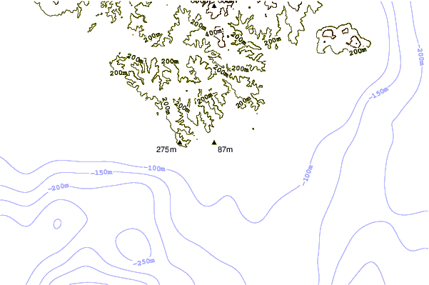
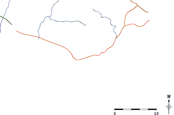
| Contours: | Roads & Rivers: | Select a
tide station / surf break / city |
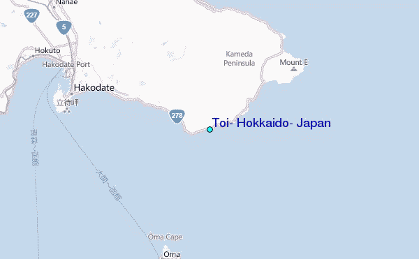
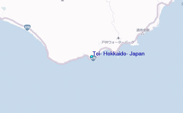
Use this relief map to navigate to tide stations, surf breaks and cities that are in the area of Toi, Hokkaido, Japan.
Other Nearby Locations' tide tables and tide charts to Toi, Hokkaido, Japan:
click location name for more details
 Surf breaks close to Toi, Hokkaido, Japan:
|
||
|---|---|---|
| Closest surf break | Choshi | 415 mi |
| Second closest surf break | Katagai | 428 mi |
| Third closest surf break | Livadia | 434 mi |
| Fourth closest surf break | Torami | 439 mi |
| Fifth closest surf break | Shida | 443 mi |


 Nearest
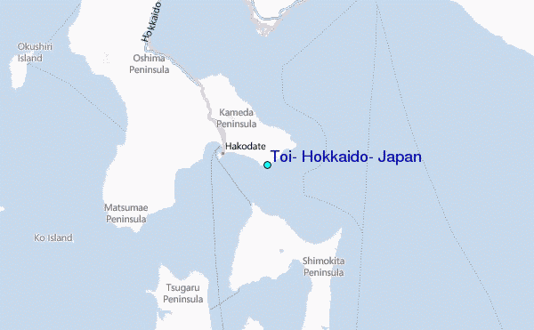