
| Distance / Altitude | Location | Report Date / Time | Live Weather | Wind | Gusts | Temp. | Visibility | Cloud |
|---|---|---|---|---|---|---|---|---|
| 141 km NE / 3 m | Lakemba Island (Fiji) | 2024-04-25 04:00 local (2024/04/24 16:00 GMT) | - | calm (0 km/h at 0) | 25°C | - | - no observation - | |
| 194 km W / 7 m | Nausori (Fiji) | 2024-04-25 04:00 local (2024/04/24 16:00 GMT) | rain | - (- km/h at -) | 25°C | 20 | - | |
| 194 km W / 106 m | Nausori International Airport (Fiji/tonga/tuvalu) | 2024-04-25 04:00 local (2024/04/24 16:00 GMT) | Dry and partly cloudy | light winds from the NNW (6 km/h at 340) | 26°C | 10.0 | broken broken | |
| 194 km W / 106 m | Nausori International Airport (Fiji/tonga/tuvalu) | 2024-04-25 03:00 local (2024/04/24 15:00 GMT) | Dry and partly cloudy | calm (4 km/h at 1) | 25°C | 10.0 | broken broken | |
| 205 km WSW / 33 m | Vunisea (Fiji) | 2024-04-25 03:00 local (2024/04/24 15:00 GMT) | light rain showers | - (- km/h at -) | 25°C | 50 | - |
| Contours: | Roads & Rivers: | Select a
tide station / surf break / city |
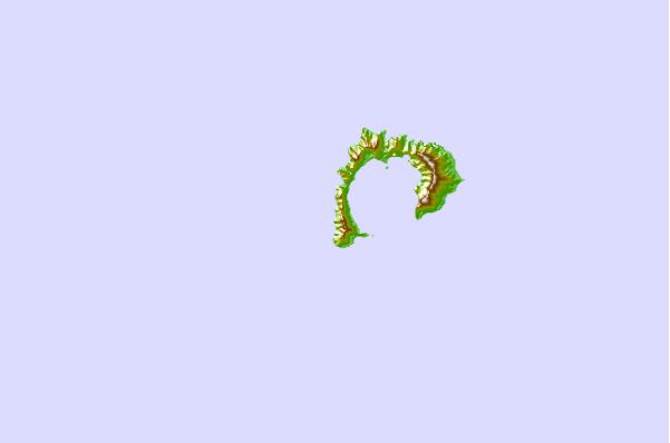
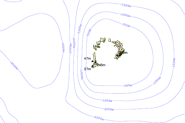
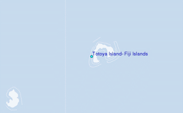
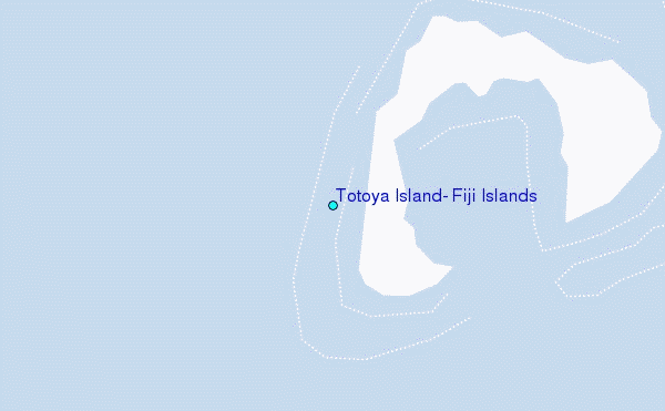
Use this relief map to navigate to tide stations, surf breaks and cities that are in the area of Totoya Island, Fiji Islands.
Other Nearby Locations' tide tables and tide charts to Totoya Island, Fiji Islands:
click location name for more details
 Surf breaks close to Totoya Island, Fiji Islands:
|
||
|---|---|---|
| Closest surf break | Typhoon Alley | 106 mi |
| Second closest surf break | Vesi Passage | 109 mi |
| Third closest surf break | Lighthouse | 124 mi |
| Fourth closest surf break | Daku | 139 mi |
| Fifth closest surf break | King Kong Right | 140 mi |

 Nearest
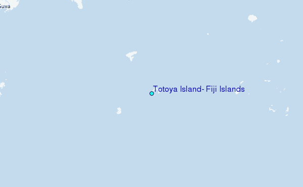