
| Distance / Altitude | Location | Report Date / Time | Live Weather | Wind | Gusts | Temp. | Visibility | Cloud |
|---|---|---|---|---|---|---|---|---|
| 20 km SSW / 459 m | Luebeck/Blankensee Airport (Germany) | 2024-04-19 06:20 local (2024/04/19 04:20 GMT) | - | light winds from the N (9 km/h at 1) | 5°C | 10.0 | ||
| 25 km S / 43 m | Schlagsdorf (Germany) | 2024-04-19 07:04 local (2024/04/19 05:04 GMT) | dry | light winds from the SW (8 km/h at 217) | 3°C | - | - - 0 | |
| 37 km E / 14 m | Wendorf wx (Germany) | 2024-04-19 07:34 local (2024/04/19 05:34 GMT) | dry | calm (0 km/h at 221) | 5°C | - | - - 0 | |
| 40 km NW / 8 m | Sehlendorf wx (Germany) | 2024-04-19 07:34 local (2024/04/19 05:34 GMT) | dry | light winds from the SSW (14 km/h at 203) | 4°C | - | - - 0 | |
| 41 km WNW / 28 m | Doernick (Germany) | 2024-04-19 07:00 local (2024/04/19 05:00 GMT) | Moderate to heavy freezing drizzle | moderate winds from the S (22 km/h at 190) | 5°C | 31 km | mostly cloudy |
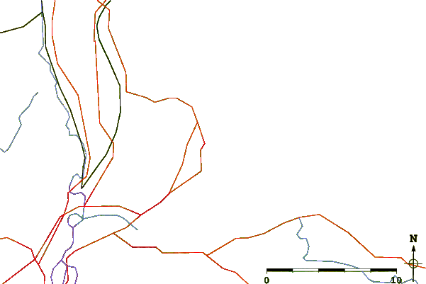
| Contours: | Roads & Rivers: | Select a
tide station / surf break / city |
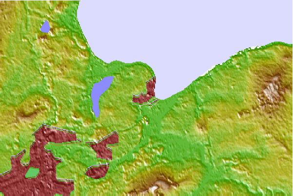
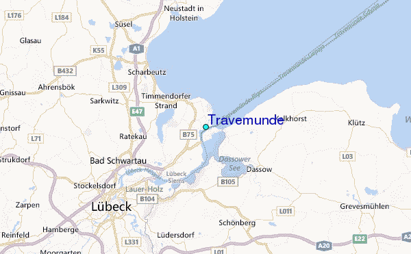
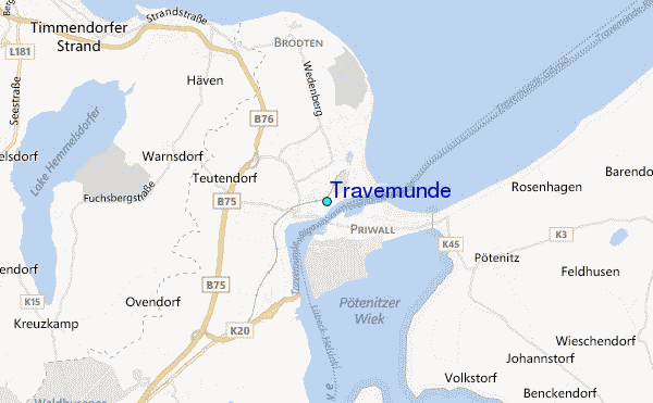
Use this relief map to navigate to tide stations, surf breaks and cities that are in the area of Travemunde.
Other Nearby Locations' tide tables and tide charts to Travemunde:
click location name for more details
 Surf breaks close to Travemunde:
|
||
|---|---|---|
| Closest surf break | Pelzerhaken | 17 mi |
| Second closest surf break | Hohwachter Bucht | 25 mi |
| Third closest surf break | Dazendorf | 29 mi |
| Fourth closest surf break | Fehmarn | 41 mi |
| Fifth closest surf break | Damp | 53 mi |

 Nearest
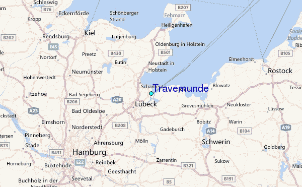