
| Distance / Altitude | Location | Report Date / Time | Live Weather | Wind | Gusts | Temp. | Visibility | Cloud |
|---|---|---|---|---|---|---|---|---|
| 108 km WNW / 15 m | SHIP2150 (Marine) | 2024-04-24 03:00 local (2024/04/24 09:00 GMT) | - (- km/h at -) | — | - km | |||
| 113 km S / 1194 m | Catacamas Airport (Honduras) | 2024-04-24 02:00 local (2024/04/24 08:00 GMT) | Dry and partly cloudy | light winds from the E (9 km/h at 100) | 24°C | 10.0 | scattered | |
| 126 km NW / 3 m | SHIP2039 (Marine) | 2024-04-24 02:00 local (2024/04/24 08:00 GMT) | - (- km/h at -) | 27°C | - | |||
| 146 km NW / 15 m | SHIP3349 (Marine) | 2024-04-24 01:00 local (2024/04/24 07:00 GMT) | - (- km/h at -) | — | - km | |||
| 146 km NW / 3 m | SHIP2609 (Marine) | 2024-04-24 01:00 local (2024/04/24 07:00 GMT) | - (- km/h at -) | 27°C | - |
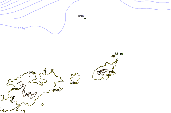
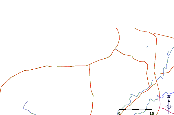
| Contours: | Roads & Rivers: | Select a
tide station / surf break / city |
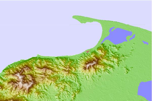
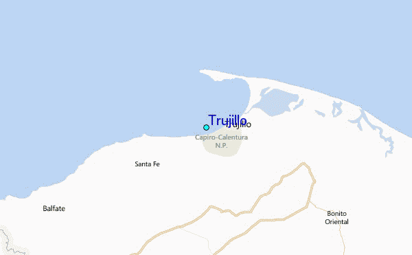
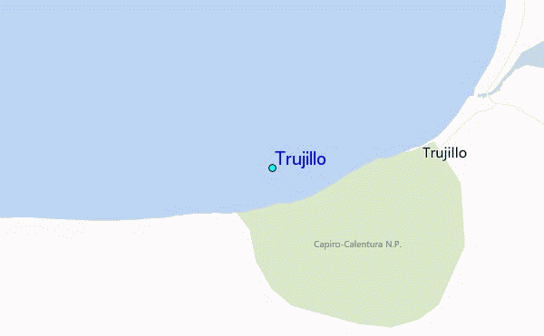
Use this relief map to navigate to tide stations, surf breaks and cities that are in the area of Trujillo.
Other Nearby Locations' tide tables and tide charts to Trujillo:
click location name for more details
 Surf breaks close to Trujillo:
|
||
|---|---|---|
| Closest surf break | Palma Real | 35 mi |
| Second closest surf break | East Point Long Cay | 179 mi |
| Third closest surf break | San Pedro South Reef Pass | 189 mi |
| Fourth closest surf break | San Pedro North Reef Pass | 190 mi |
| Fifth closest surf break | Rocky Point | 195 mi |

 Nearest
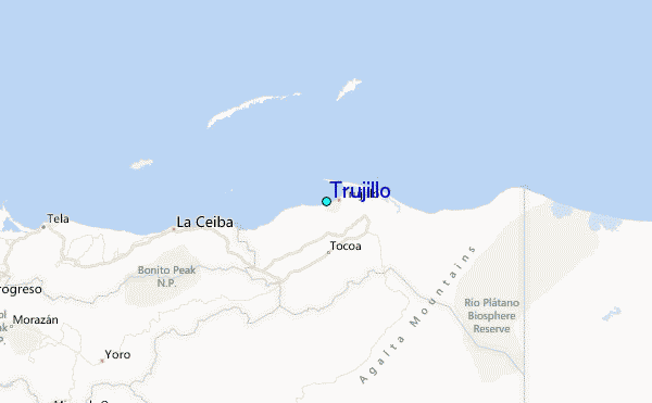