
| Distance / Altitude | Location | Report Date / Time | Live Weather | Wind | Gusts | Temp. | Visibility | Cloud |
|---|---|---|---|---|---|---|---|---|
| 103 km ESE / 195 m | LAGrandeRiviere A- Que (Canada) | 2026-06-09 08:00 local (2026/06/09 12:00 GMT) | no report | light winds from the S (11 km/h at 190) | 6°C | 44 km | - mostly cloudy - | |
| 103 km ESE / 217 m | La Grande Rivier Airport (Quebec) | 2026-06-09 08:00 local (2026/06/09 12:00 GMT) | Dry and partly cloudy | light winds from the S (11 km/h at 190) | 22°C | 24 | few scattered broken | |
| 184 km NNE / 164 m | Kuujjuarapik Airport (Quebec) | 2026-06-09 08:00 local (2026/06/09 12:00 GMT) | Clear | light winds from the SE (15 km/h at 130) | 24°C | 14 | ||
| 185 km NNE / 12 m | Kuujjuarapik Arpt (Canada) | 2026-06-09 08:00 local (2026/06/09 12:00 GMT) | no report | calm (4 km/h at 180) | 10°C | - | - no observation - | |
| 188 km SSE / 173 m | Eastmain River Airport (Quebec) | 2026-06-09 09:00 local (2026/06/09 13:00 GMT) | Dry and partly cloudy | light winds from the SSW (19 km/h at 210) | 18°C | 24 | scattered broken | |
| 237 km SW / 9 m | Attawapiskat Airport (Canada) | 2026-06-09 08:00 local (2026/06/09 12:00 GMT) | Dry and partly cloudy | light winds from the WSW (11 km/h at 250) | 21°C | 14 | broken | |
| 297 km N / 237 m | Sanikiluaq Airport (N.w. Territories) | 2026-06-09 08:00 local (2026/06/09 12:00 GMT) | Dry and partly cloudy | moderate winds from the S (24 km/h at 170) | 14°C | 24 | broken | |
| 299 km S / 9 m | Moosonee Airport (Ontario) | 2026-06-09 08:00 local (2026/06/09 12:00 GMT) | - | light winds from the SSW (6 km/h at 200) | 20°C | 0.0 | - mostly cloudy - | |
| 299 km N / 34 m | Sanikiluaq (Canada) | 2026-06-09 08:00 local (2026/06/09 12:00 GMT) | no report | wind obs. (40 kph from 260 degs) was rejected (- km/h at -) | 4°C | - | - - - | |
| 303 km S / 217 m | Moosonee Airport (Ontario) | 2026-06-09 08:00 local (2026/06/09 12:00 GMT) | Dry and partly cloudy | light winds from the SSW (17 km/h at 210) | 20°C | 14 | broken broken |
| Contours: | Roads & Rivers: | Select a
tide station / surf break / city |
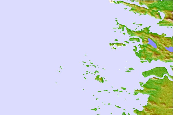

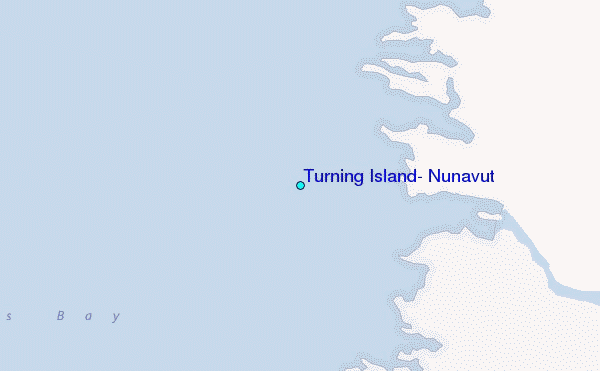
Use this relief map to navigate to tide stations, surf breaks and cities that are in the area of Turning Island, Nunavut.
Other Nearby Locations' tide tables and tide charts to Turning Island, Nunavut:
click location name for more details
 Surf breaks close to Turning Island, Nunavut:
|
||
|---|---|---|
| Closest surf break | Marathon | 474 mi |
| Second closest surf break | Alona Bay | 521 mi |
| Third closest surf break | Manitoulin Island | 580 mi |
| Fourth closest surf break | Grand Marias | 582 mi |
| Fifth closest surf break | Au Sable Point | 582 mi |


 Nearest
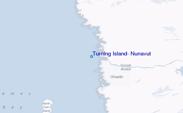