
| Distance / Altitude | Location | Report Date / Time | Live Weather | Wind | Gusts | Temp. | Visibility | Cloud |
|---|---|---|---|---|---|---|---|---|
| 48 km E / 217 m | Kodiak Airport (Alaska) | 2024-04-25 10:18 local (2024/04/25 18:18 GMT) | Light rain | calm (0 km/h at 0) | 4°C | 13 | scattered overcast | |
| 48 km E / 3 m | BUOY-KDAA2 (Marine) | 2024-04-25 10:48 local (2024/04/25 18:48 GMT) | calm (4 km/h at 230) | 3°C | - | |||
| 49 km E / 35 m | Kodiak-AK (United States) | 2024-04-25 10:00 local (2024/04/25 18:00 GMT) | Continuous light rain | light winds from the SE (6 km/h at 140) | 4°C | 36 km | overcast | |
| 51 km E / 3 m | BUOY-KMXA2 (Marine) | 2024-04-25 11:04 local (2024/04/25 19:04 GMT) | light winds from the NNE (9 km/h at 30) | 4°C | - | |||
| 52 km E / 3 m | BUOY-KGXA2 (Marine) | 2024-04-25 11:04 local (2024/04/25 19:04 GMT) | calm (2 km/h at 330) | 5°C | - |
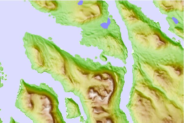
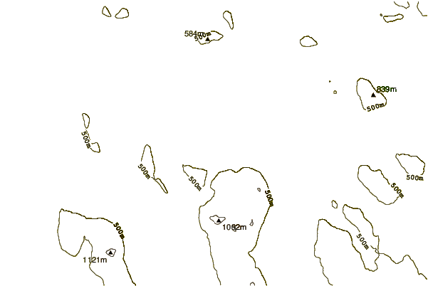
| Contours: | Roads & Rivers: | Select a
tide station / surf break / city |
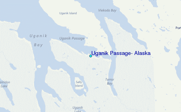
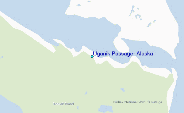
Use this relief map to navigate to tide stations, surf breaks and cities that are in the area of Uganik Passage, Alaska.
Other Nearby Locations' tide tables and tide charts to Uganik Passage, Alaska:
click location name for more details
 Surf breaks close to Uganik Passage, Alaska:
|
||
|---|---|---|
| Closest surf break | Monashka Bay | 32 mi |
| Second closest surf break | Termination Point | 33 mi |
| Third closest surf break | Mill Bay | 35 mi |
| Fourth closest surf break | Fossil Beach Kodiak | 44 mi |
| Fifth closest surf break | Bird Point (Tidal Bore) | 213 mi |

 Nearest
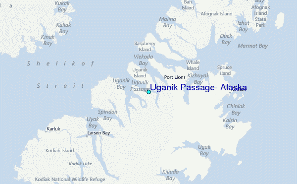