
| Distance / Altitude | Location | Report Date / Time | Live Weather | Wind | Gusts | Temp. | Visibility | Cloud |
|---|---|---|---|---|---|---|---|---|
| 23 km NW / 240 m | Hervey Bay Airport (Australia) | 2024-04-20 04:00 local (2024/04/19 18:00 GMT) | no report | light winds from the SW (7 km/h at 230) | 21°C | - | - mostly cloudy - | |
| 27 km WSW / 11 m | Maryborough (94567 -0) (Australia) | 2024-04-20 04:00 local (2024/04/19 18:00 GMT) | no report | light winds from the S (9 km/h at 170) | 20°C | - | - overcast - | |
| 48 km S / 28 m | Tin Can Bay (Defence) (Australia) | 2024-04-20 04:00 local (2024/04/19 18:00 GMT) | no report | light winds from the S (6 km/h at 190) | 20°C | - | - | |
| 52 km SSE / 96 m | Double Island Point Lighthouse (Australia) | 2024-04-20 05:00 local (2024/04/19 19:00 GMT) | no report | fresh winds from the E (31 km/h at 100) | 23°C | - | - no observation - | |
| 80 km S / 240 m | Gympie (Australia) | 2024-04-20 03:00 local (2024/04/19 17:00 GMT) | No report | calm (0 km/h at 0) | 18°C | - | - no observation - |
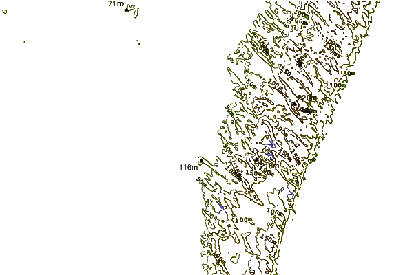
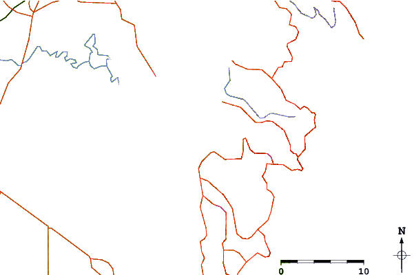
| Contours: | Roads & Rivers: | Select a
tide station / surf break / city |
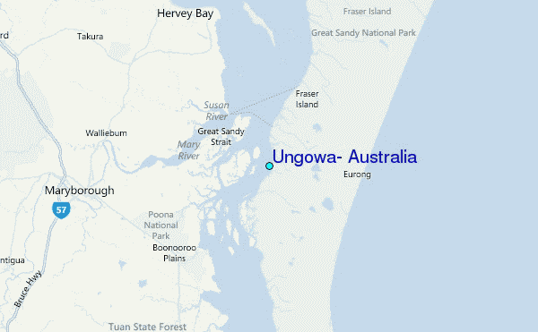
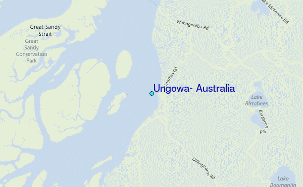
Use this relief map to navigate to tide stations, surf breaks and cities that are in the area of Ungowa, Australia.
Other Nearby Locations' tide tables and tide charts to Ungowa, Australia:
click location name for more details
 Surf breaks close to Ungowa, Australia:
|
||
|---|---|---|
| Closest surf break | Inskip Point | 22 mi |
| Second closest surf break | Fraser Island - Maheno Wreck | 24 mi |
| Third closest surf break | Double Island Point - North Coast | 32 mi |
| Fourth closest surf break | Double Island Point - East Side | 33 mi |
| Fifth closest surf break | Fraser Island - Indian Head | 42 mi |

 Nearest
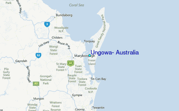