
| Distance / Altitude | Location | Report Date / Time | Live Weather | Wind | Gusts | Temp. | Visibility | Cloud |
|---|---|---|---|---|---|---|---|---|
| 25 km W / 73 m | Iejima Aux (usaf (Japan) | 2026-06-09 14:59 local (2026/06/09 05:59 GMT) | Dry and cloudy | moderate winds from the S (20 km/h at 190) | 26°C | 0.0 | overcast | |
| 43 km SSW / 217 m | Kadena Air Force Base Airport (Japan) | 2026-06-09 15:44 local (2026/06/09 06:44 GMT) | Moderate rain | strong winds from the SSW (39 km/h at 200) | 27°C | 1 | few broken overcast | |
| 46 km S / 13 m | Shido wx (Japan) | 2026-06-09 16:36 local (2026/06/09 07:36 GMT) | dry | wind obs. (10 kph from 81 degs) was rejected (- km/h at -) | 27°C | - | - - 0 | |
| 52 km S / 468 m | Futenma Airport (Japan) | 2026-06-09 15:37 local (2026/06/09 06:37 GMT) | Heavy rain | strong winds from the S (39 km/h at 190) | 27°C | 1 | broken overcast | |
| 57 km NE / 16 m | Yoron Island Airport (Japan) | 2026-06-09 15:00 local (2026/06/09 06:00 GMT) | Dry and partly cloudy | fresh winds from the S (30 km/h at 190) | 26°C | 10.0 | no significant cloud | |
| 66 km S / 218 m | Naha Airport (Japan) | 2026-06-09 15:30 local (2026/06/09 06:30 GMT) | - | strong winds from the S (46 km/h at 190) | — | 2.0 | ||
| 106 km NE / 29 m | Okinoerabu/okier (Japan) | 2026-06-09 15:00 local (2026/06/09 06:00 GMT) | Light rain | fresh winds from the SSW (33 km/h at 210) | — | 6.0 | few scattered broken | |
| 220 km NW / 0 m | lightning 209km W of Naze (Japan) | 2026-06-09 14:47 local (2026/06/09 05:47 GMT) | Thunderstorm | (- km/h at -) | — | |||
| 257 km NE / 416 m | Amami Airport (Japan) | 2026-06-09 15:00 local (2026/06/09 06:00 GMT) | Shower heavy rain shower | near gales from the SSW (56 km/h at 210) | — | 0.0 | few broken broken | |
| 262 km NE / 6 m | Kikai Island (Japan) | 2026-06-09 15:00 local (2026/06/09 06:00 GMT) | Moderate rain | moderate winds from the S.(Wind varies from 150 to 230 degs) (20 km/h at 190) | — | 2.9 | few few scattered |
| Contours: | Roads & Rivers: | Select a
tide station / surf break / city |
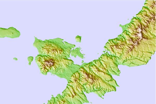
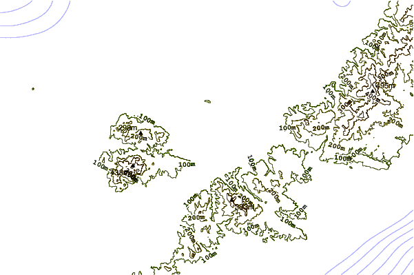
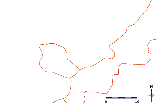
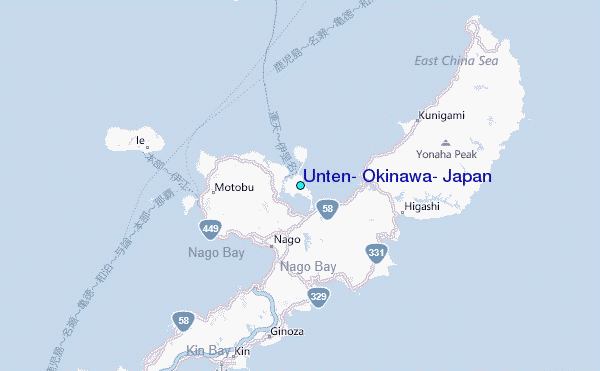
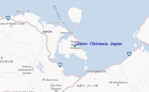
Use this relief map to navigate to tide stations, surf breaks and cities that are in the area of Unten, Okinawa, Japan.
Other Nearby Locations' tide tables and tide charts to Unten, Okinawa, Japan:
click location name for more details
 Surf breaks close to Unten, Okinawa, Japan:
|
||
|---|---|---|
| Closest surf break | Buma | 8 mi |
| Second closest surf break | Futami | 9 mi |
| Third closest surf break | Sesako Island | 10 mi |
| Fourth closest surf break | Sunset | 10 mi |
| Fifth closest surf break | Yona Bay | 12 mi |


 Nearest
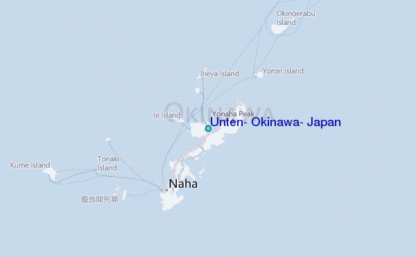