
| Distance / Altitude | Location | Report Date / Time | Live Weather | Wind | Gusts | Temp. | Visibility | Cloud |
|---|---|---|---|---|---|---|---|---|
| 110 km SSE / 27 m | Veracruz (Mexico) | 2024-04-23 05:45 local (2024/04/23 10:45 GMT) | dry | calm (5 km/h at 5) | 25°C | - | - - 0 | |
| 181 km WSW / 2181 m | Tulancingo (Mexico) | 2024-04-23 03:40 local (2024/04/23 08:40 GMT) | - | calm (0 km/h at 0) | — | 13 | ||
| 266 km SW / 2230 m | Mexico City International Airport/Aeropuerto Internacional de la Ciudad de México (Mexico) | 2024-04-23 04:46 local (2024/04/23 09:46 GMT) | - | calm (0 km/h at 0) | — | 13 | ||
| 275 km SW / 2249 m | Colonia Nápoles wx (Mexico) | 2024-04-23 05:04 local (2024/04/23 10:04 GMT) | dry | calm (0 km/h at 250) | 16°C | - | - - 0 | |
| 297 km SW / 1710 m | Lomas de Cortés wx (Mexico) | 2024-04-23 05:40 local (2024/04/23 10:40 GMT) | - | calm (0 km/h at 305) | 21°C | - | - - 0 |
| Contours: | Roads & Rivers: | Select a
tide station / surf break / city |
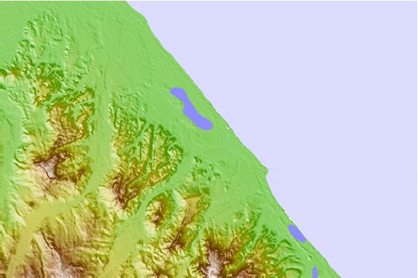
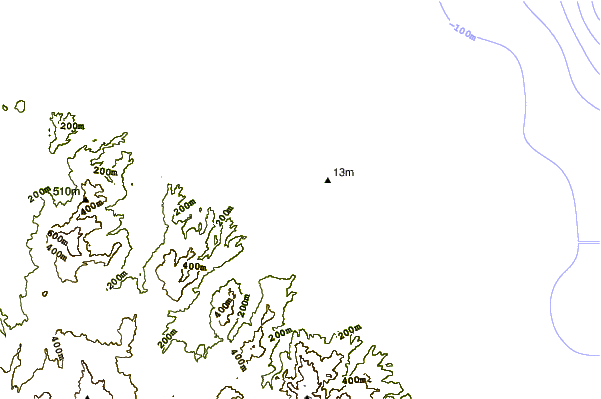
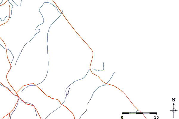
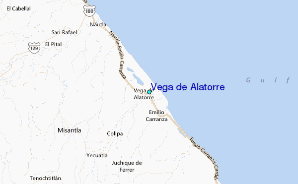
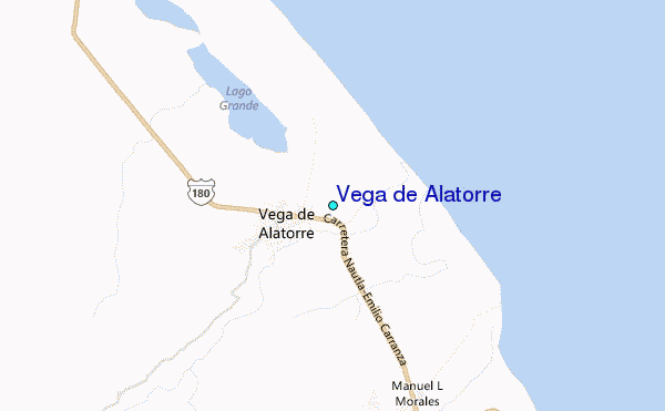
Use this relief map to navigate to tide stations, surf breaks and cities that are in the area of Vega de Alatorre.
Other Nearby Locations' tide tables and tide charts to Vega de Alatorre:
click location name for more details
 Surf breaks close to Vega de Alatorre:
|
||
|---|---|---|
| Closest surf break | Punta Acamama | 282 mi |
| Second closest surf break | Marquella | 283 mi |
| Third closest surf break | Punta Conejo | 283 mi |
| Fourth closest surf break | Salina Cruz | 284 mi |
| Fifth closest surf break | Pinitas | 285 mi |

 Nearest
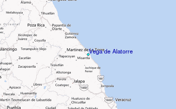