
| Distance / Altitude | Location | Report Date / Time | Live Weather | Wind | Gusts | Temp. | Visibility | Cloud |
|---|---|---|---|---|---|---|---|---|
| 5 km WNW / 8 m | Wijk Aan Zee Aws (Netherlands) | 2024-04-19 17:00 local (2024/04/19 15:00 GMT) | no report | - (- km/h at -) | 9°C | - | - | |
| 6 km WSW / 4 m | Ijmuiden WP (Netherlands) | 2024-04-19 17:00 local (2024/04/19 15:00 GMT) | no report | near gales from the NNW (54 km/h at 330) | — | - | - no observation - | |
| 9 km WSW / 0 m | Ijmond WP (Netherlands) | 2024-04-19 17:00 local (2024/04/19 15:00 GMT) | no report | near gales from the NNW (58 km/h at 340) | — | - | - no observation - | |
| 10 km NW / 10 m | CastricumSportsatSea (Netherlands) | 2024-04-19 17:00 local (2024/04/19 15:00 GMT) | - | gales from the NNW (69 km/h at 336) | — | - | - - 0 | |
| 19 km SSE / -3 m | AmsterdamAPSchiphol (Netherlands) | 2024-04-19 17:00 local (2024/04/19 15:00 GMT) | moderate to heavy rain showers | fresh winds from the NW (36 km/h at 320) | 9°C | 21 | - overcast - |
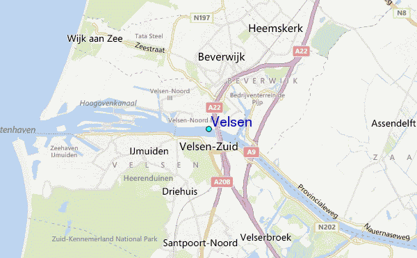
| Contours: | Roads & Rivers: | Select a
tide station / surf break / city |
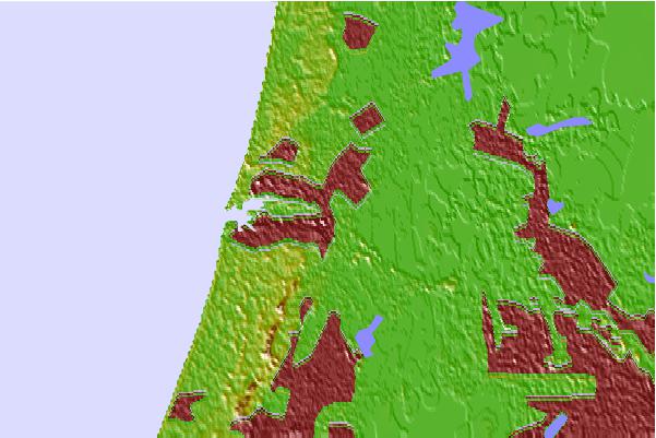
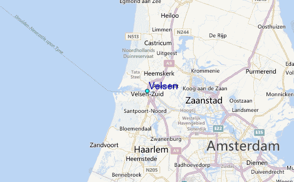
Use this relief map to navigate to tide stations, surf breaks and cities that are in the area of Velsen.
Other Nearby Locations' tide tables and tide charts to Velsen:
click location name for more details
 Surf breaks close to Velsen:
|
||
|---|---|---|
| Closest surf break | Wijk aan Zee Noordpier | 3 mi |
| Second closest surf break | Zandvoort | 9 mi |
| Third closest surf break | Egmond aan Zee | 10 mi |
| Fourth closest surf break | Bergen aan Zee | 13 mi |
| Fifth closest surf break | Katwijk aan Zee | 19 mi |

 Nearest