
| Distance / Altitude | Location | Report Date / Time | Live Weather | Wind | Gusts | Temp. | Visibility | Cloud |
|---|---|---|---|---|---|---|---|---|
| 2 km WNW / 217 m | Santa Maria Island Airport (Portugal) | 2024-04-19 11:30 local (2024/04/19 11:30 GMT) | Dry and partly cloudy | moderate winds from the WNW (28 km/h at 290) | 18°C | 10.0 | scattered scattered - | |
| 3 km SSW / 3 m | Bóia Vila do Porto (Terceira) (Marine) | 2024-04-19 12:47 local (2024/04/19 12:47 GMT) | - (- km/h at -) | — | - | |||
| 92 km NW / 3 m | SHIP3058 (Marine) | 2024-04-19 11:00 local (2024/04/19 11:00 GMT) | - (- km/h at -) | 17°C | - | |||
| 95 km N / 540 m | CASM - NORDESTE (Portugal) | 2024-04-19 12:00 local (2024/04/19 12:00 GMT) | - | light winds from the NW (19 km/h at 322) | 17°C | - | - - 0 | |
| 95 km NW / 160 m | Termo wx (Portugal) | 2024-04-19 12:38 local (2024/04/19 12:38 GMT) | - | calm (0 km/h at 0) | 18°C | - | - - 0 |
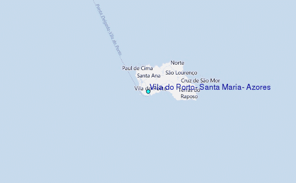
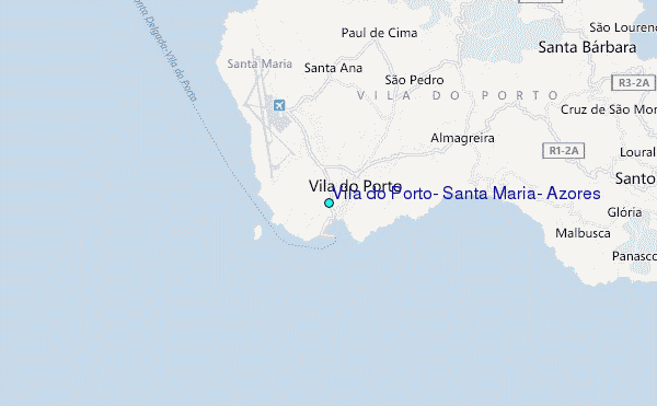
Choose Vila do Porto, Santa Maria, Azores Location Map Zoom:
| Contours: | Roads & Rivers: | Select a
tide station / surf break / city |
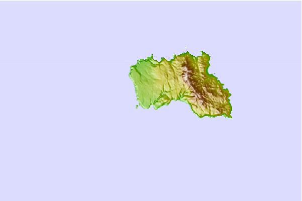
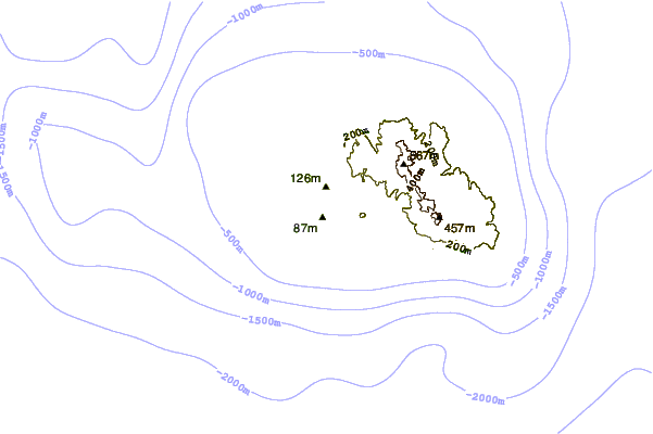
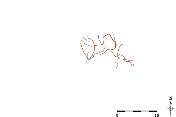
Use this relief map to navigate to tide stations, surf breaks and cities that are in the area of Vila do Porto, Santa Maria, Azores.
Other Nearby Locations' tide tables and tide charts to Vila do Porto, Santa Maria, Azores:
click location name for more details
 Surf breaks close to Vila do Porto, Santa Maria, Azores:
|
||
|---|---|---|
| Closest surf break | Santa Maria - Praia Formosa | 3 mi |
| Second closest surf break | Santa Maria - Anjos | 4 mi |
| Third closest surf break | San Miguel - Ribeira Quente | 55 mi |
| Fourth closest surf break | San Miguel - Populo | 61 mi |
| Fifth closest surf break | San Miguel - Santa Iria | 62 mi |

 Nearest
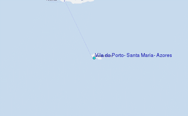