
| Distance / Altitude | Location | Report Date / Time | Live Weather | Wind | Gusts | Temp. | Visibility | Cloud |
|---|---|---|---|---|---|---|---|---|
| 56 km W / 6 m | Munda-New Georgia (Solomon Islands) | 2026-06-09 15:00 local (2026/06/09 04:00 GMT) | distant precipitation but not falling at station | - (- km/h at -) | 25°C | 4000 | - - - | |
| 250 km WNW / 3 m | Taro Island (Solomon Islands) | 2026-06-09 15:00 local (2026/06/09 04:00 GMT) | distant precipitation but not falling at station | light winds from the SE (11 km/h at 140) | 26°C | 20 | - | |
| 263 km ESE / 182 m | Honiara (Solomon Islands) | 2026-06-09 15:00 local (2026/06/09 04:00 GMT) | moderate to heavy rain showers | moderate winds from the S (22 km/h at 180) | 24°C | 10 | - | |
| 273 km ESE / 484 m | Honiara/Henderson Airport (Solomon Islands) | 2026-06-09 16:00 local (2026/06/09 05:00 GMT) | - | calm (4 km/h at 320) | 28°C | 10.0 | few few broken | |
| 330 km E / 11 m | Auki (Solomon Islands) | 2026-06-09 15:00 local (2026/06/09 04:00 GMT) | distant precipitation but not falling at station | calm (4 km/h at 90) | 28°C | 10 | - overcast - | |
| 406 km ESE / 36 m | lightning 109km ESE of Auki (Solomon Islands) | 2026-06-09 14:16 local (2026/06/09 03:16 GMT) | Thunderstorm | (- km/h at -) | — | |||
| 422 km SE / 15 m | Tingoa (Solomon Islands) | 2026-06-09 14:00 local (2026/06/09 03:00 GMT) | Distant precipitation but not falling at station | light winds from the SE (9 km/h at 140) | 29°C | 20 km | mostly cloudy | |
| 839 km SW / 23 m | Gurney (Papua New Guinea) | 2026-06-09 14:00 local (2026/06/09 03:00 GMT) | distant precipitation but not falling at station | - (- km/h at -) | 26°C | 30 | - - - | |
| 877 km ESE / 0 m | lightning (Solomon Islands) | 2026-06-09 16:33 local (2026/06/09 05:33 GMT) | Thunderstorm | (- km/h at -) | — | |||
| 916 km ESE / 24 m | Santa Cruz Island (Solomon Islands) | 2026-06-09 15:00 local (2026/06/09 04:00 GMT) | light rain showers | light winds from the E (11 km/h at 90) | 26°C | 20 | - overcast - |
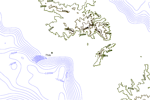
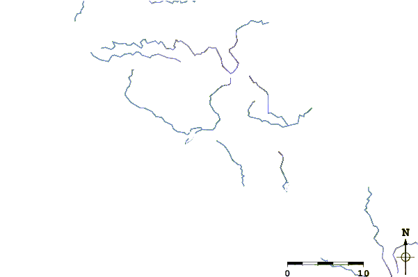
| Contours: | Roads & Rivers: | Select a
tide station / surf break / city |
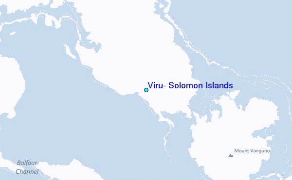
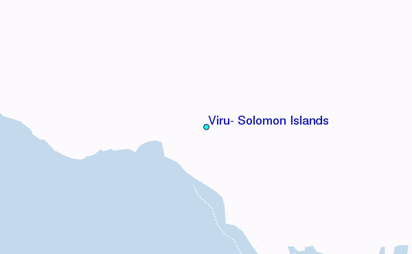
Use this relief map to navigate to tide stations, surf breaks and cities that are in the area of Viru, Solomon Islands.
Other Nearby Locations' tide tables and tide charts to Viru, Solomon Islands:
click location name for more details
 Surf breaks close to Viru, Solomon Islands:
|
||
|---|---|---|
| Closest surf break | Coves | 35 mi |
| Second closest surf break | Kundu Kundu | 37 mi |
| Third closest surf break | Lavata | 38 mi |
| Fourth closest surf break | Mbirimbiri | 40 mi |
| Fifth closest surf break | Skull Island | 42 mi |


 Nearest
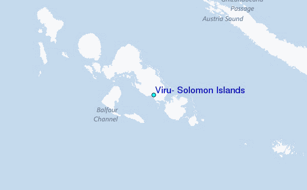