
| Distance / Altitude | Location | Report Date / Time | Live Weather | Wind | Gusts | Temp. | Visibility | Cloud |
|---|---|---|---|---|---|---|---|---|
| 21 km SSE / 214 m | Egilsstadir Airport (Iceland) | 2026-06-09 06:00 local (2026/06/09 06:00 GMT) | Dry and partly cloudy | light winds from the SSW.(Wind varies from 170 to 310 degs) (6 km/h at 210) | 10°C | 10.0 | scattered | |
| 28 km SSE / 949 m | Gagnheidi (Iceland) | 2026-06-09 06:00 local (2026/06/09 06:00 GMT) | no report | - (- km/h at -) | 0°C | - | - | |
| 36 km NW / 48 m | Skjaldthingsstad Airport (Iceland) | 2026-06-09 07:00 local (2026/06/09 07:00 GMT) | Dry and partly cloudy | light winds from the ENE.(Wind varies from 030 to 100 degs) (9 km/h at 60) | 5°C | 10.0 | scattered broken | |
| 47 km ESE / 11 m | Dalatangi (4197 -0) (Iceland) | 2026-06-09 06:00 local (2026/06/09 06:00 GMT) | no report | light winds from the S (11 km/h at 170) | 7°C | 70 | - - - | |
| 77 km W / 386 m | Grimsstadir (Iceland) | 2026-06-09 07:00 local (2026/06/09 07:00 GMT) | no report | calm (4 km/h at 350) | 6°C | 60 | - | |
| 130 km NW / 10 m | Raufarhofn (Iceland) | 2026-06-09 07:00 local (2026/06/09 07:00 GMT) | no report | wind obs. (20 kph from 270 degs) was rejected (- km/h at -) | 4°C | - | - | |
| 136 km S / 5 m | Hofn (Iceland) | 2026-06-09 07:00 local (2026/06/09 07:00 GMT) | no report | light winds from the SSW (11 km/h at 200) | 8°C | - | - | |
| 166 km WSW / 211 m | Akureyri Airport (Iceland) | 2026-06-09 06:00 local (2026/06/09 06:00 GMT) | no report | calm (4 km/h at 170) | 7°C | 10.0 | no significant cloud - - | |
| 197 km W / 15 m | SHIP11541 (Marine) | 2026-06-09 07:00 local (2026/06/09 07:00 GMT) | - (- km/h at -) | — | - km | |||
| 197 km W / 3 m | SHIP2959 (Marine) | 2026-06-09 07:00 local (2026/06/09 07:00 GMT) | - (- km/h at -) | — | - |
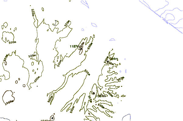
| Contours: | Roads & Rivers: | Select a
tide station / surf break / city |
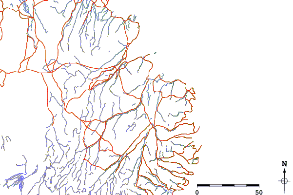
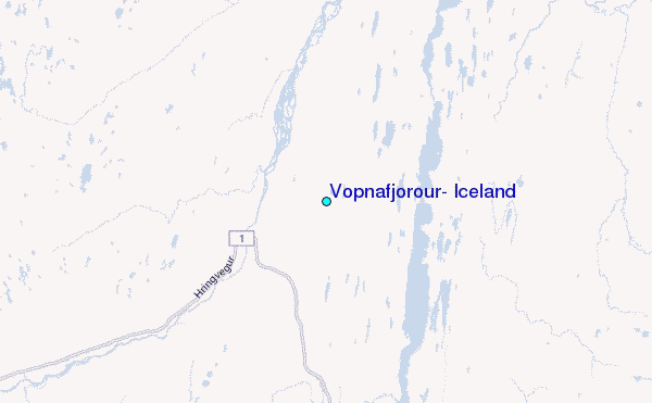
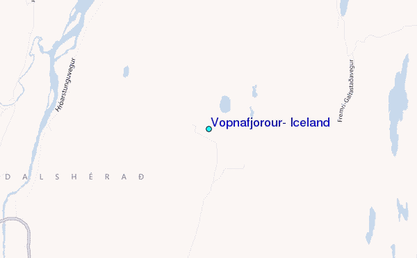
Use this relief map to navigate to tide stations, surf breaks and cities that are in the area of Vopnafjörður, Iceland.
Other Nearby Locations' tide tables and tide charts to Vopnafjorour, Iceland:
click location name for more details
 Surf breaks close to Vopnafjorour, Iceland:
|
||
|---|---|---|
| Closest surf break | Eyvik | 91 mi |
| Second closest surf break | Þorlákshöfn or Porlackshofn | 231 mi |
| Third closest surf break | Grotta | 239 mi |
| Fourth closest surf break | Hafnarfjordur | 241 mi |
| Fifth closest surf break | Garur | 259 mi |


 Nearest
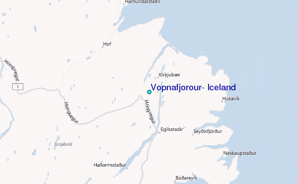