
| Distance / Altitude | Location | Report Date / Time | Live Weather | Wind | Gusts | Temp. | Visibility | Cloud |
|---|---|---|---|---|---|---|---|---|
| 52 km WNW / 4 m | Nhà Bè Base (Viet Nam) | 2024-04-26 04:00 local (2024/04/25 21:00 GMT) | - | calm (0 km/h at 0) | 29°C | 20 km | few | |
| 69 km WNW / 218 m | Ho Chi Minh/Tan Son Nhat International Airport (Viet Nam) | 2024-04-26 03:30 local (2024/04/25 20:30 GMT) | - | light winds from the S (11 km/h at 180) | 30°C | 10.0 | few | |
| 131 km ENE / 219 m | Phan Thiet (Viet-nam) | 2024-04-26 04:00 local (2024/04/25 21:00 GMT) | - | light winds from the NNE (7 km/h at 20) | 29°C | 20 km | mostly cloudy | |
| 131 km ENE / 219 m | Phan Thiet (Viet-nam) | 2024-04-26 04:00 local (2024/04/25 21:00 GMT) | - | light winds from the NNE (7 km/h at 20) | 29°C | 20 km | mostly cloudy | |
| 150 km WSW / 3 m | Can Tho Airport (Viet nam) | 2024-04-26 03:30 local (2024/04/25 20:30 GMT) | - | calm (2 km/h at 1) | 26°C | 8.0 | few |
| Contours: | Roads & Rivers: | Select a
tide station / surf break / city |
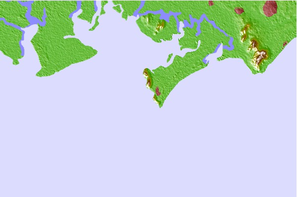
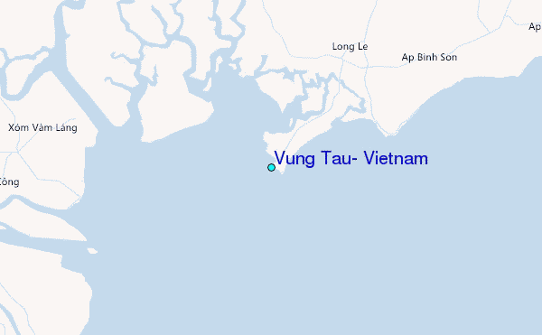
Use this relief map to navigate to tide stations, surf breaks and cities that are in the area of Vung Tau, Vietnam.
Other Nearby Locations' tide tables and tide charts to Vung Tau, Vietnam:
click location name for more details
 Surf breaks close to Vung Tau, Vietnam:
|
||
|---|---|---|
| Closest surf break | Vung Tau (Back Beach) | 2 mi |
| Second closest surf break | Mui Ne | 93 mi |
| Third closest surf break | Bai Dai Nha Trang | 190 mi |
| Fourth closest surf break | Dark Reef | 192 mi |
| Fifth closest surf break | Bamboo Island | 239 mi |

 Nearest
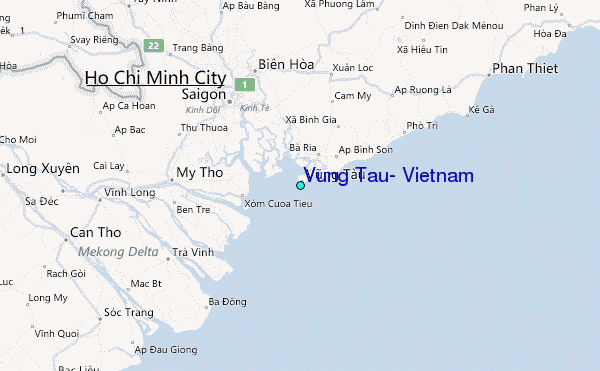