
| Distance / Altitude | Location | Report Date / Time | Live Weather | Wind | Gusts | Temp. | Visibility | Cloud |
|---|---|---|---|---|---|---|---|---|
| 18 km ESE / 244 m | Kangiqsujuaq Airport (Quebec) | 2024-04-25 09:00 local (2024/04/25 13:00 GMT) | - | moderate winds from the WNW (20 km/h at 290) | -14°C | 24 | few few | |
| 82 km SW / 503 m | Parc National Des Pingualuit- Que (Canada) | 2024-04-25 08:00 local (2024/04/25 12:00 GMT) | no report | moderate winds from the WNW (25 km/h at 300) | -18°C | - | - | |
| 155 km ESE / 264 m | Quaqtaq Airport (Quebec) | 2024-04-25 09:00 local (2024/04/25 13:00 GMT) | Light snow | moderate winds from the NW (22 km/h at 310) | -12°C | 24 | few broken | |
| 186 km NE / 180 m | Lake Harbour Airport (N.w. Territories) | 2024-04-25 09:00 local (2024/04/25 13:00 GMT) | Dry and partly cloudy | light winds from the NNW (17 km/h at 330) | -9°C | 24 | broken broken | |
| 190 km W / 251 m | Salliut Airport (Quebec) | 2024-04-25 09:31 local (2024/04/25 13:31 GMT) | Dry and partly cloudy | moderate winds from the W (28 km/h at 260) | -14°C | 16 | broken |
| Contours: | Roads & Rivers: | Select a
tide station / surf break / city |
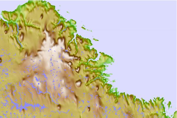
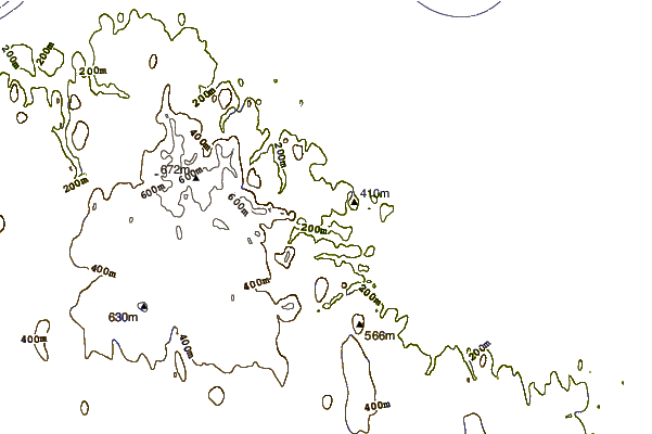
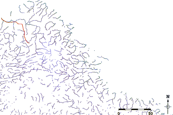
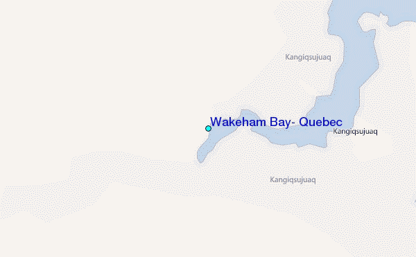
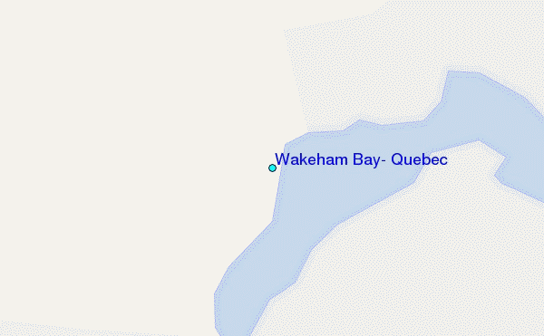
Use this relief map to navigate to tide stations, surf breaks and cities that are in the area of Wakeham Bay, Quebec.
Other Nearby Locations' tide tables and tide charts to Wakeham Bay, Quebec:
click location name for more details
 Surf breaks close to Wakeham Bay, Quebec:
|
||
|---|---|---|
| Closest surf break | Marathon | 1048 mi |
| Second closest surf break | Alona Bay | 1112 mi |
| Third closest surf break | Ingonish Beach | 1137 mi |
| Fourth closest surf break | Keweenaw Peninsula | 1161 mi |
| Fifth closest surf break | Bayfield | 1168 mi |

 Nearest
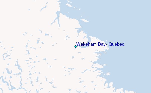