
| Distance / Altitude | Location | Report Date / Time | Live Weather | Wind | Gusts | Temp. | Visibility | Cloud |
|---|---|---|---|---|---|---|---|---|
| 5 km WSW / 219 m | Pensacola Airport (Florida) | 2026-06-08 23:56 local (2026/06/09 04:56 GMT) | - | light winds from the ESE (9 km/h at 120) | 26°C | 16 | few | |
| 6 km NW / 9 m | Beach Haven wx (United States) | 2026-06-09 01:28 local (2026/06/09 06:28 GMT) | dry | calm (0 km/h at ) | 23°C | - | - - 0 | |
| 7 km E / 6 m | Gulf Breeze wx (United States) | 2026-06-09 01:12 local (2026/06/09 06:12 GMT) | dry | calm (0 km/h at 64) | 26°C | - | - - 0 | |
| 8 km NE / 3 m | BUOY-PCLF1 (Marine) | 2026-06-09 01:18 local (2026/06/09 06:18 GMT) | - (- km/h at -) | — | - | |||
| 9 km S / 7 m | Fort Pickens wx (United States) | 2026-06-09 01:15 local (2026/06/09 06:15 GMT) | dry | light winds from the SE (8 km/h at 127) | 27°C | - | - - 0 | |
| 10 km SW / 3 m | Perdido Key (Florida) | 2026-06-09 01:35 local (2026/06/09 06:35 GMT) | dry | light winds from the ESE (16 km/h at 121) | 27°C | - | - - 0 | |
| 14 km NNE / 24 m | Gaberonne wx (United States) | 2026-06-09 01:17 local (2026/06/09 06:17 GMT) | dry | calm (0 km/h at 111) | 26°C | - | - - 0 | |
| 16 km NE / 24 m | Gaberonne wx (United States) | 2026-06-09 01:25 local (2026/06/09 06:25 GMT) | dry | calm (0 km/h at 66) | 26°C | - | - - 0 | |
| 16 km SW / 1 m | Pensacola (Florida) | 2026-06-09 01:23 local (2026/06/09 06:23 GMT) | dry | calm (0 km/h at 219) | 26°C | - | - - 0 | |
| 17 km NNE / 219 m | Pensacola Airport (Florida) | 2026-06-08 23:53 local (2026/06/09 04:53 GMT) | Clear | light winds from the SE (9 km/h at 130) | 26°C | 16 |
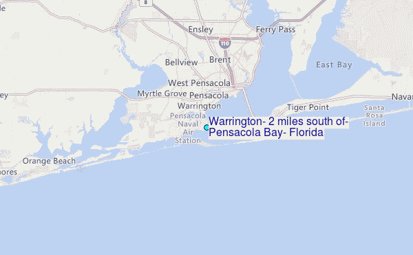
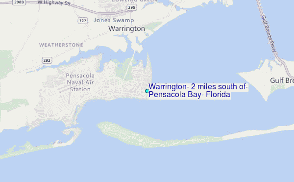
Choose Warrington, 2 miles south of, Pensacola Bay, Florida Location Map Zoom:
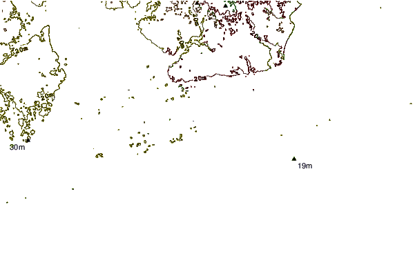
| Contours: | Roads & Rivers: | Select a
tide station / surf break / city |
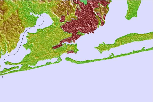
Use this relief map to navigate to tide stations, surf breaks and cities that are in the area of Warrington, 2 miles south of, Pensacola Bay, Florida.
Other Nearby Locations' tide tables and tide charts to Warrington, 2 miles south of, Pensacola Bay, Florida:
click location name for more details
 Surf breaks close to Warrington, 2 miles south of, Pensacola Bay, Florida:
|
||
|---|---|---|
| Closest surf break | The Point -Fort Pickens | 2 mi |
| Second closest surf break | Pensacola Beach Pier | 7 mi |
| Third closest surf break | Pensacola Beach | 7 mi |
| Fourth closest surf break | 17th Ave | 9 mi |
| Fifth closest surf break | Calle Hermosa | 11 mi |


 Nearest
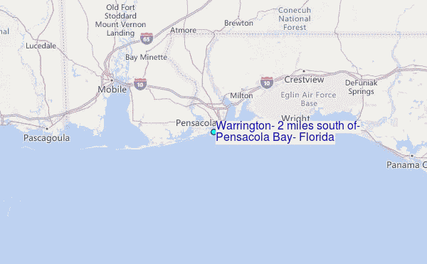