
| Distance / Altitude | Location | Report Date / Time | Live Weather | Wind | Gusts | Temp. | Visibility | Cloud |
|---|---|---|---|---|---|---|---|---|
| 2 km WNW / 218 m | Providence/Theodore Francis Green State Airport (Rhode Island) | 2024-04-24 23:51 local (2024/04/25 03:51 GMT) | - | moderate winds from the NNW (22 km/h at 340) | 6°C | 16 | few | |
| 6 km ENE / 3 m | BUOY-CPTR1 (Marine) | 2024-04-25 00:30 local (2024/04/25 04:30 GMT) | strong winds from the NNW (46 km/h at 330) | 5°C | - | |||
| 9 km SE / 3 m | BUOY-PTCR1 (Marine) | 2024-04-25 00:30 local (2024/04/25 04:30 GMT) | fresh winds from the NNE (30 km/h at 30) | 6°C | - | |||
| 9 km SE / 3 m | BUOY-NAXR1 (Marine) | 2024-04-24 23:45 local (2024/04/25 03:45 GMT) | moderate winds from the E (28 km/h at 80) | 8°C | - | |||
| 10 km S / 3 m | BUOY-PDVR1 (Marine) | 2024-04-25 00:30 local (2024/04/25 04:30 GMT) | fresh winds from the N (32 km/h at 350) | 6°C | - |
| Contours: | Roads & Rivers: | Select a
tide station / surf break / city |
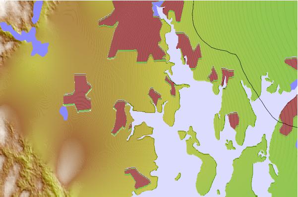
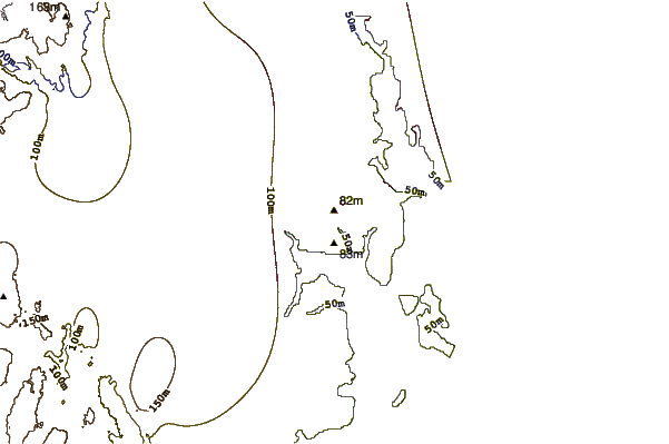
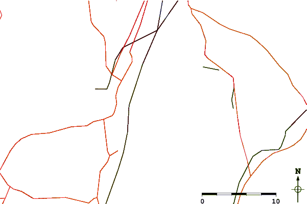
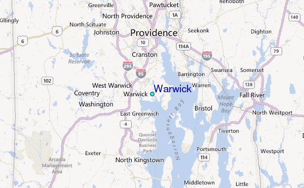
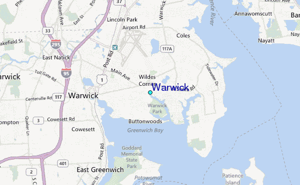
Use this relief map to navigate to tide stations, surf breaks and cities that are in the area of Warwick.
Other Nearby Locations' tide tables and tide charts to Warwick:
click location name for more details
 Surf breaks close to Warwick:
|
||
|---|---|---|
| Closest surf break | Bonnet Shores Point | 15 mi |
| Second closest surf break | Bonnet Point | 16 mi |
| Third closest surf break | Eastons Beach (1st Beach) | 16 mi |
| Fourth closest surf break | Sachuest Beach (2nd Beach) | 17 mi |
| Fifth closest surf break | 2nd Beach | 17 mi |

 Nearest
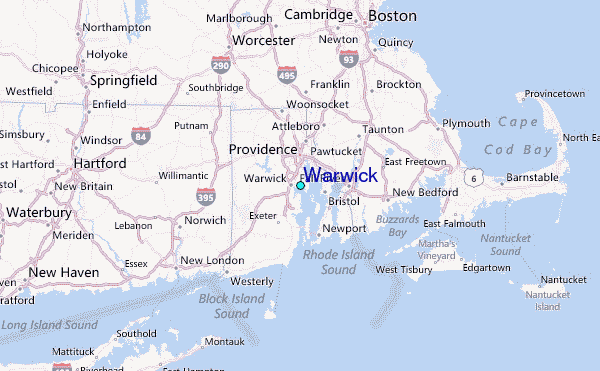