
| Distance / Altitude | Location | Report Date / Time | Live Weather | Wind | Gusts | Temp. | Visibility | Cloud |
|---|---|---|---|---|---|---|---|---|
| 20 km N / 8 m | Katunayake (Sri Lanka) | 2024-04-24 12:30 local (2024/04/24 07:00 GMT) | haze | light winds from the SW (14 km/h at 230) | 33°C | 9 | - - - | |
| 20 km N / 183 m | Colombo Bandaranaike International Airport/Katunayake (Sri Lanka) | 2024-04-24 13:40 local (2024/04/24 08:10 GMT) | - | light winds from the WSW.(Wind varies from 200 to 330 degs) (11 km/h at 250) | 33°C | 10.0 | few | |
| 140 km NNE / 117 m | Maha Illuppallama (Sri Lanka) | 2024-04-24 12:30 local (2024/04/24 07:00 GMT) | no report | calm (4 km/h at 30) | 33°C | 20 | - - - | |
| 140 km N / 3 m | Kitesurfinglanka (Sri Lanka) | 2024-04-24 14:30 local (2024/04/24 09:00 GMT) | - | calm (0 km/h at 333) | 37°C | - | - - 0 | |
| 158 km ESE / 7 m | Mattala Rajapaksa International Airport (Sri lanka) | 2024-04-24 13:40 local (2024/04/24 08:10 GMT) | Dry and partly cloudy | light winds from the SSW.(Wind varies from 120 to 250 degs) (13 km/h at 200) | 34°C | 10.0 | scattered |
| Contours: | Roads & Rivers: | Select a
tide station / surf break / city |
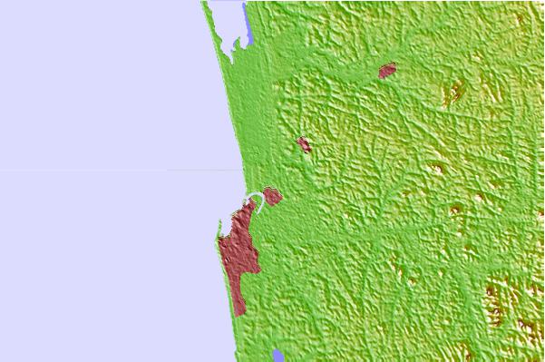
Use this relief map to navigate to tide stations, surf breaks and cities that are in the area of Wattala.
Other Nearby Locations' tide tables and tide charts to Wattala:
click location name for more details
 Surf breaks close to Wattala:
|
||
|---|---|---|
| Closest surf break | Moogurama | 19 mi |
| Second closest surf break | Kalutara South | 29 mi |
| Third closest surf break | Beruwela | 32 mi |
| Fourth closest surf break | Induruwa | 35 mi |
| Fifth closest surf break | Balapitiya | 39 mi |

 Nearest