
| Distance / Altitude | Location | Report Date / Time | Live Weather | Wind | Gusts | Temp. | Visibility | Cloud |
|---|---|---|---|---|---|---|---|---|
| 5 km ESE / 1 m | Upper Land wx (Cayman Islands) | 2024-04-17 18:04 local (2024/04/17 23:04 GMT) | dry | calm (5 km/h at 46) | 28°C | - | - - 0 | |
| 8 km SSE / 3 m | SHIP1672 (Marine) | 2024-04-17 18:00 local (2024/04/17 23:00 GMT) | - (- km/h at -) | 27°C | - | |||
| 10 km SE / 3 m | OwenRobertsAirport Grand Cayman (Cayman Islands) | 2024-04-17 18:00 local (2024/04/17 23:00 GMT) | - | moderate winds from the NE (26 km/h at 50) | 29°C | 40 km | - scattered - | |
| 11 km SSE / 2 m | George Town wx (Cayman Islands) | 2024-04-17 19:33 local (2024/04/18 00:33 GMT) | dry | calm (3 km/h at 231) | 27°C | - | - - 0 | |
| 12 km SSE / 479 m | Grand Cayman/Georgetown/Owen Roberts International Airport (Grand Cayman Is) | 2024-04-17 18:00 local (2024/04/17 23:00 GMT) | Dry and partly cloudy | moderate winds from the NE (26 km/h at 50) | 29°C | 10.0 | few scattered |
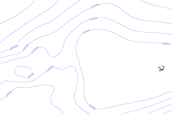
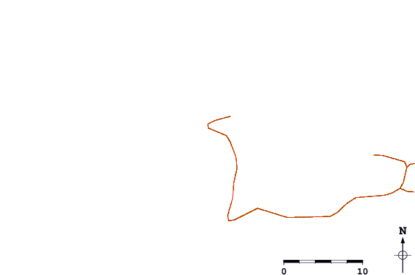
| Contours: | Roads & Rivers: | Select a
tide station / surf break / city |
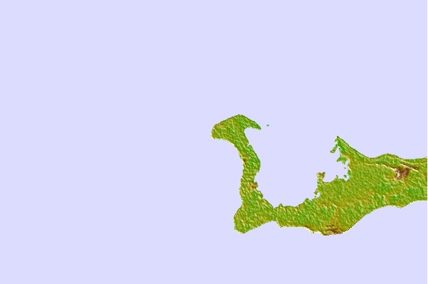
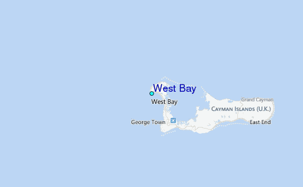
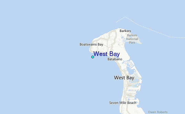
Use this relief map to navigate to tide stations, surf breaks and cities that are in the area of West Bay.
Other Nearby Locations' tide tables and tide charts to West Bay:
click location name for more details
 Surf breaks close to West Bay:
|
||
|---|---|---|
| Closest surf break | 7 Mile Beach | 3 mi |
| Second closest surf break | South Sound | 7 mi |
| Third closest surf break | East End | 21 mi |
| Fourth closest surf break | Discovery Bay | 270 mi |
| Fifth closest surf break | Runaway Bay | 275 mi |

 Nearest
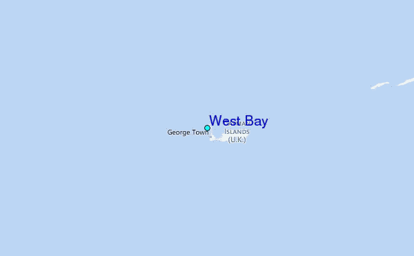