
| Distance / Altitude | Location | Report Date / Time | Live Weather | Wind | Gusts | Temp. | Visibility | Cloud |
|---|---|---|---|---|---|---|---|---|
| 18 km S / 30 m | WeatherServiceOffice- Koror- Palau Wci. (Palau) | 2026-06-09 15:00 local (2026/06/09 06:00 GMT) | State of sky unchanged | light winds from the WNW (6 km/h at 290) | 29°C | 43 km | overcast | |
| 19 km S / 212 m | Babelthuap (Palau)/Roman Tmetuchl International Airport (Micronesia) | 2026-06-09 14:50 local (2026/06/09 05:50 GMT) | Dry and partly cloudy | light winds from the W (9 km/h at 270) | 29°C | 19 | broken broken broken | |
| 450 km ENE / 205 m | Yap Island Airport (Micronesia) | 2026-06-09 14:55 local (2026/06/09 05:55 GMT) | Dry and partly cloudy | light winds from the N (9 km/h at 1) | 30°C | 19 | few scattered broken | |
| 451 km ENE / 28 m | WeatherServiceOffice- Yap- Caroline Is. (Micronesia) | 2026-06-09 15:00 local (2026/06/09 06:00 GMT) | - | light winds from the (9 km/h at 990) | 30°C | 39 km | mostly cloudy | |
| 851 km WNW / 7 m | Catarman (Philippines) | 2026-06-09 15:00 local (2026/06/09 06:00 GMT) | no report | calm (4 km/h at 40) | 29°C | 20 | - | |
| 929 km S / 3 m | ManokwariRendani (Indonesia) | 2026-06-09 15:00 local (2026/06/09 06:00 GMT) | - | light winds from the SE (19 km/h at 130) | — | 30 km | - mostly cloudy - | |
| 939 km SW / 15 m | SHIP10431 (Marine) | 2026-06-09 15:00 local (2026/06/09 06:00 GMT) | light winds from the SSE (12.96 km/h at 150) | 29°C | 17.7 km | |||
| 939 km SW / 3 m | SHIP10194 (Marine) | 2026-06-09 15:00 local (2026/06/09 06:00 GMT) | light winds from the SSE (13 km/h at 150) | 32°C | 20.4 | |||
| 939 km SW / 15 m | SHIP12351 (Marine) | 2026-06-09 15:00 local (2026/06/09 06:00 GMT) | light winds from the SSE (12.96 km/h at 150) | 29°C | 17.7 km | |||
| 954 km W / 20 m | BRAVO SIARGAO (Philippines) | 2026-06-09 16:00 local (2026/06/09 07:00 GMT) | - | light winds from the SE (11 km/h at 136) | 31°C | - | - - 0 |
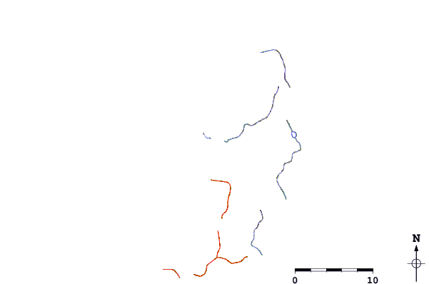
| Contours: | Roads & Rivers: | Select a
tide station / surf break / city |
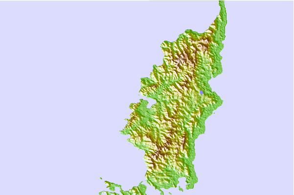
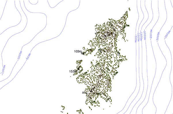
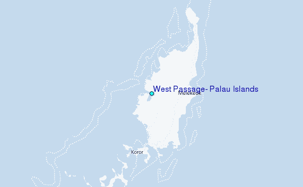
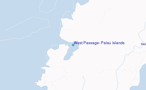
Use this relief map to navigate to tide stations, surf breaks and cities that are in the area of West Passage, Palau Islands.
Other Nearby Locations' tide tables and tide charts to West Passage, Palau Islands:
click location name for more details
 Surf breaks close to West Passage, Palau Islands:
|
||
|---|---|---|
| Closest surf break | West Passage (Babelthuap) | 4 mi |
| Second closest surf break | Melekeok (Babelthuap) | 9 mi |
| Third closest surf break | Santa Maria Anguar | 48 mi |
| Fourth closest surf break | Tago River | 575 mi |
| Fifth closest surf break | Cauit Point | 582 mi |


 Nearest
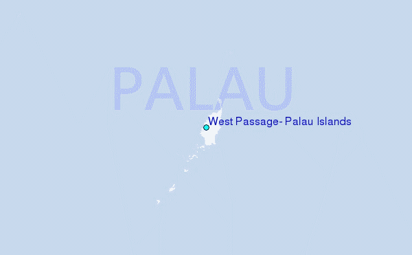