
| Distance / Altitude | Location | Report Date / Time | Live Weather | Wind | Gusts | Temp. | Visibility | Cloud |
|---|---|---|---|---|---|---|---|---|
| 149 km W / 3 m | Aitape (Papua-New Guinea) | 2026-06-10 07:00 local (2026/06/09 21:00 GMT) | - | wind obs. (7 kph from 90 degs) was rejected (- km/h at -) | 24°C | - | no observation | |
| 340 km SE / 1587 m | Goroka Highlands Airport (Papua-New Guinea) | 2026-06-10 07:00 local (2026/06/09 21:00 GMT) | visibility reduced by smoke | - (- km/h at -) | 22°C | 30 | - | |
| 345 km ENE / 0 m | lightning 107km SW of Lorengau (Papua New Guinea) | 2026-06-10 07:17 local (2026/06/09 21:17 GMT) | Thunderstorm | (- km/h at -) | — | |||
| 362 km W / 88 m | Jayapura/Sentani Airport (Indonesia) | 2026-06-10 07:00 local (2026/06/09 21:00 GMT) | State of sky unchanged | calm (2 km/h at 130) | 25°C | 30 km | few scattered - | |
| 466 km SSW / 125 m | Tanah Merah (Indonesia (maluku And Irian Jaya)) | 2026-06-10 07:00 local (2026/06/09 21:00 GMT) | - | calm (0 km/h at 0) | 25°C | 28 km | overcast | |
| 478 km SE / 70 m | Nadzab (Papua New Guinea) | 2026-06-10 07:00 local (2026/06/09 21:00 GMT) | rain | - (- km/h at -) | 25°C | 30 | - | |
| 597 km WNW / 0 m | lightning (Indonesia) | 2026-06-10 06:46 local (2026/06/09 20:46 GMT) | Thunderstorm | (- km/h at -) | — | |||
| 614 km W / 0 m | lightning (Indonesia) | 2026-06-10 06:50 local (2026/06/09 20:50 GMT) | Thunderstorm | (- km/h at -) | — | |||
| 645 km S / 15 m | SHIP3622 (Marine) | 2026-06-10 05:00 local (2026/06/09 19:00 GMT) | - (- km/h at -) | 27°C | - km | |||
| 645 km S / 15 m | SHIP3876 (Marine) | 2026-06-10 05:00 local (2026/06/09 19:00 GMT) | - (- km/h at -) | 27°C | - km |
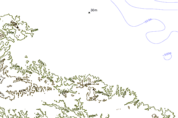
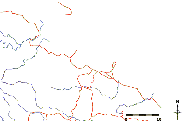
| Contours: | Roads & Rivers: | Select a
tide station / surf break / city |
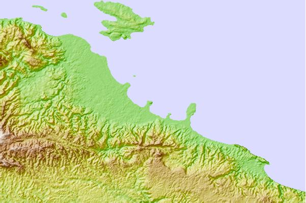
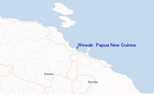
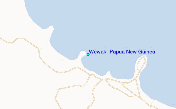
Use this relief map to navigate to tide stations, surf breaks and cities that are in the area of Wewak, Papua New Guinea.
Other Nearby Locations' tide tables and tide charts to Wewak, Papua New Guinea:
click location name for more details
 Surf breaks close to Wewak, Papua New Guinea:
|
||
|---|---|---|
| Closest surf break | Wewak Point | 0 mi |
| Second closest surf break | The Wharf (Mission Point) | 2 mi |
| Third closest surf break | Moem Point | 4 mi |
| Fourth closest surf break | Cape Barabar | 9 mi |
| Fifth closest surf break | Forok Point | 10 mi |


 Nearest
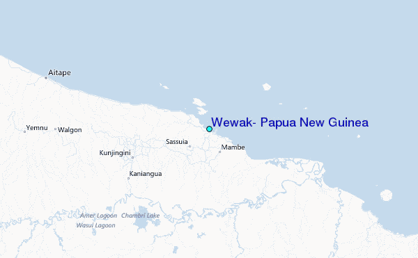