
| Distance / Altitude | Location | Report Date / Time | Live Weather | Wind | Gusts | Temp. | Visibility | Cloud |
|---|---|---|---|---|---|---|---|---|
| 4 km ESE / 14 m | WanganuiAeroAws (New Zealand) | 2024-04-19 00:00 local (2024/04/18 12:00 GMT) | Clear skies | light winds from the NNE (13 km/h at 20) | 11°C | 20 km | no observation | |
| 8 km NW / 63 m | Rapanui (New Zealand) | 2024-04-19 00:14 local (2024/04/18 12:14 GMT) | Dry | light winds from the W (7 km/h at 270) | 12°C | - | - - - | |
| 44 km SE / 40 m | Ohakea Automatic Weather Station (New Zealand) | 2024-04-19 00:10 local (2024/04/18 12:10 GMT) | Dry | light winds from the N (11 km/h at 0) | 12°C | - | - - - | |
| 46 km SSW / 15 m | ASCATB175E40S (Marine) | 2024-04-18 21:46 local (2024/04/18 09:46 GMT) | strong winds from the NW (42 km/h at 308) | — | - km | |||
| 58 km E / 247 m | Flat Hills Automatic Weather Station (New Zealand) | 2024-04-19 00:10 local (2024/04/18 12:10 GMT) | Dry | calm (2 km/h at 315) | 8°C | - | - - - |
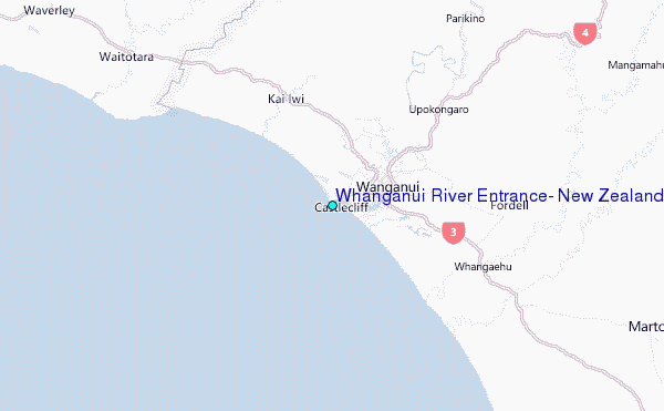
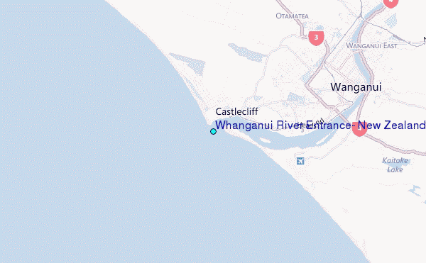
Choose Whanganui River Entrance, New Zealand Location Map Zoom:
| Contours: | Roads & Rivers: | Select a
tide station / surf break / city |
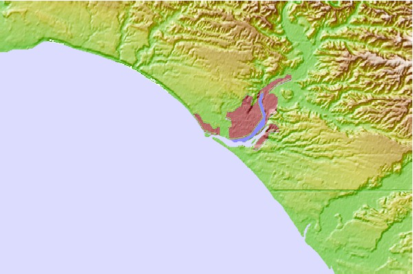
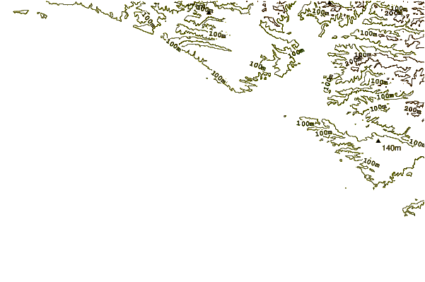
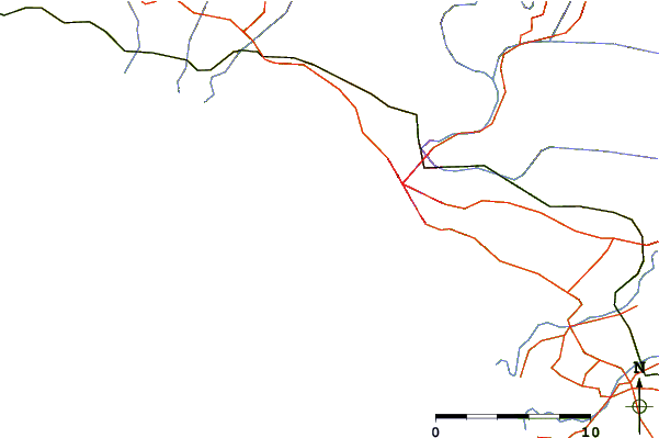
Use this relief map to navigate to tide stations, surf breaks and cities that are in the area of Whanganui River Entrance, New Zealand.
Other Nearby Locations' tide tables and tide charts to Whanganui River Entrance, New Zealand:
click location name for more details
 Surf breaks close to Whanganui River Entrance, New Zealand:
|
||
|---|---|---|
| Closest surf break | Morgan Street (North Mole) | 0 mi |
| Second closest surf break | Wanganui River Mouth | 0 mi |
| Third closest surf break | Karaka Street | 1 mi |
| Fourth closest surf break | Rangiora Street | 1 mi |
| Fifth closest surf break | South Beach (Wanganui) | 2 mi |

 Nearest
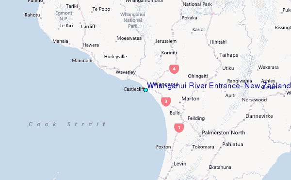