
| Distance / Altitude | Location | Report Date / Time | Live Weather | Wind | Gusts | Temp. | Visibility | Cloud |
|---|---|---|---|---|---|---|---|---|
| 48 km S / 1 m | Marys Harbour (Canada) | 2024-04-23 21:30 local (2024/04/24 00:00 GMT) | - | moderate winds from the SW (20 km/h at 220) | 1°C | 36 km | clear | |
| 50 km S / 217 m | Mary's Harbour Airport (Newfoundland) | 2024-04-23 21:30 local (2024/04/24 00:00 GMT) | Clear | moderate winds from the SSW (22 km/h at 210) | 1°C | 14 | ||
| 132 km WNW / 12 m | Cartwright Airport (Newfoundland) | 2024-04-23 21:30 local (2024/04/24 00:00 GMT) | Clear | light winds from the SSW (13 km/h at 200) | 1°C | 14 | ||
| 135 km WNW / 14 m | Cartwright (Canada) | 2024-04-23 21:30 local (2024/04/24 00:00 GMT) | no report | fresh winds from the WSW (29 km/h at 250) | 3°C | 36 km | - clear - | |
| 137 km S / 10 m | St. Lunaire - Griquet (Canada) | 2024-04-23 22:19 local (2024/04/24 00:49 GMT) | - | light winds from the S (11 km/h at 171) | 1°C | - | - - 0 |
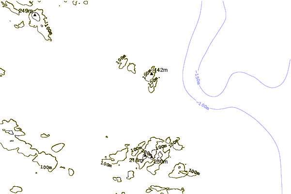
| Contours: | Roads & Rivers: | Select a
tide station / surf break / city |
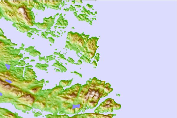
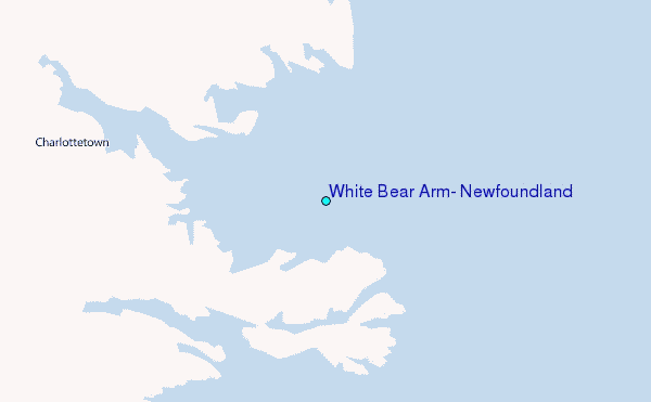
Use this relief map to navigate to tide stations, surf breaks and cities that are in the area of White Bear Arm, Newfoundland.
Other Nearby Locations' tide tables and tide charts to White Bear Arm, Newfoundland:
click location name for more details
 Surf breaks close to White Bear Arm, Newfoundland:
|
||
|---|---|---|
| Closest surf break | Ingonish Beach | 468 mi |
| Second closest surf break | Kennington Cove | 511 mi |
| Third closest surf break | Michaud Point | 541 mi |
| Fourth closest surf break | Martinique | 648 mi |
| Fifth closest surf break | Lawrencetown Left Point | 655 mi |

 Nearest
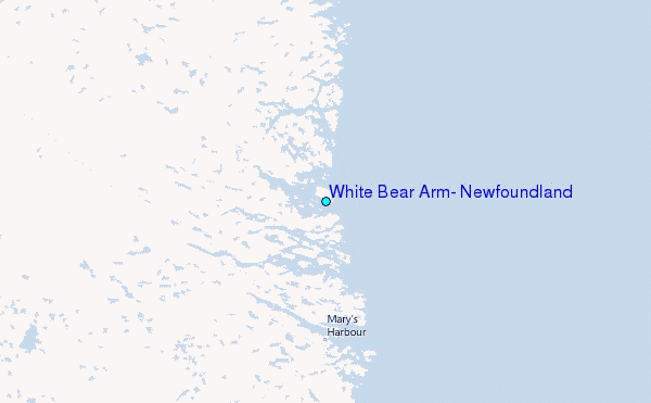